Chiltern Hills, Protected natural area in southern England
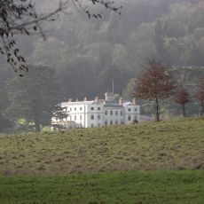
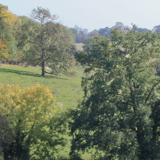
Chiltern Hills is a chalk escarpment stretching 45 miles from Goring-on-Thames to Hitchin, covering 660 square miles across Oxfordshire, Buckinghamshire, Hertfordshire and Bedfordshire. Its north-west face rises above the Vale of Aylesbury, while the south-east dip slope carries beech woodland and enclosed fields. The highest point is Haddington Hill at 267 metres, marked by a stone monument.
Iron Age tribes fortified the hilltops and used the natural routes through the terrain for trade and defense. Roman roads later followed these ancient paths, connecting settlements to London and other trading centers.
The name Chiltern is Brittonic in origin; Eilert Ekwall linked it to the root celto- meaning "high". The Chiltern Hundreds, a historic stewardship office, takes its name from these hills and is still used by MPs to resign a seat. Flint from the chalk has been mined since the Neolithic and appears as nodules in the walls of older houses.
Marked walking trails pass through the woods and across open slopes, with many routes starting from nearby railway stations. The gentle gradients suit walks of different lengths, while some sections follow steps or unpaved paths.
The chalk streams flow year-round with constant temperature and clear water fed directly from the porous hills. These rare waterways support brown trout and grayling found in only a few other regions worldwide.
The community of curious travelers
AroundUs brings together thousands of curated places, local tips, and hidden gems, enriched daily by 94,191 contributors worldwide.