Merchant Taylors' School
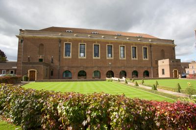
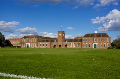
Merchant Taylors' School, Independent boys' school in Northwood, England.
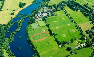
Merchant Taylors' School is an educational establishment for boys in Batchworth within Hertfordshire county. The grounds spread across green space with sports fields, school buildings and teaching rooms for multiple year groups.
A London merchant founded the school in the mid-16th century to support young men from craft families. The establishment left the capital after nearly four centuries and settled northwest of London.
The campus bears the name of the London cloth-makers' guild that supported apprenticeship training for centuries. Today the building appears on the heritage list with period facades and traditional teaching rooms.
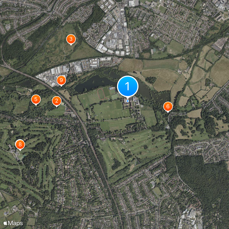
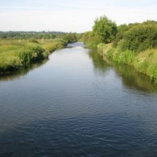
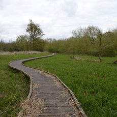
The site sits in a residential area that can be reached by a short walk from Northwood station. Visitors can follow public footpaths along the edge of the grounds.
The shift to mixed education in September 2025 ends a tradition from the 16th century. The change arrives in a year that also brings building extensions for additional pupils.
Location: Batchworth
Inception: January 1, 1927
Address: Merchant Taylors' School, Sandy Lodge, Northwood, HA6 2HT
Phone: +441923820644
Website: http://mtsn.org.uk
GPS coordinates: 51.63500,-0.42417
Latest update: December 5, 2025 16:32
Vicarage Road
2.3 km
Moor Park
1.8 km
Cassiobury Park
2.8 km
Holy Rood Church
2.8 km
Croxley Green Windmill
2.7 km
Oxhey Chapel
2.3 km
Eastbury Park
1.8 km
Oxhey Woods
2.6 km
The Lairage Land
1.7 km
Croxley Common Moor
1.2 km
Batchworth Heath
1.4 km
Church of St Mary, Rickmansworth
3 km
Church of All Saints
2.5 km
K6 Telephone Kiosk Outside St Mary's Church
3 km
Mount Vernon Hospital Chapel
2.6 km
7 and 9, Church Street
3.1 km
25 and 27, Church Street
3.1 km
99, Church Street
3 km
Clutterbuck Tomb 6 Metres South South East Of Deacon/Kent Tomb In Church Of St Mary
2.9 km
Ye Old Greene Manne Public House
2.1 km
London Coal Duty Marker On County Boundary Where Road Meets Potter Street Hill
2.8 km
The Mrs Elizabeth Fuller Free School
2.9 km
Obelisk On South Bank In Garden Of Number 17 Moor Lane
2.7 km
London Coal Duty Marker On County Boundary
2.2 km
Milestone About 35 Metres West Of Number 1 Home Farm Road (Not Listed)
2.5 km
Cassio Bridge Lock Number 78
2.2 km
17, Moor Lane
2.7 km
Watford Place
2.8 kmReviews
Visited this place? Tap the stars to rate it and share your experience / photos with the community! Try now! You can cancel it anytime.
Discover hidden gems everywhere you go!
From secret cafés to breathtaking viewpoints, skip the crowded tourist spots and find places that match your style. Our app makes it easy with voice search, smart filtering, route optimization, and insider tips from travelers worldwide. Download now for the complete mobile experience.
A unique approach to discovering new places❞
— Le Figaro
All the places worth exploring❞
— France Info
A tailor-made excursion in just a few clicks❞
— 20 Minutes