Frankenbury Camp, Iron Age hillfort in Hampshire, England
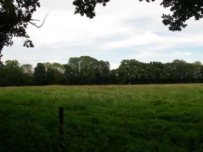
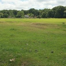
Frankenbury Camp is an Iron Age fortified settlement positioned on a promontory in Hampshire covering about 11 acres. The site features steep natural slopes on its western and southern edges, with human-made ramparts and ditches constructed on the northeastern side for additional defense.
The settlement was built during the Iron Age when fortified communities emerged across southern Britain to protect their territories. Evidence shows the location continued to be occupied and used during the Roman period, as revealed through archaeological finds.
The site reflects the defensive concerns of Iron Age communities who chose this elevated location to watch over their lands. Walking through the earthworks, you can sense how natural geography shaped where these people chose to build and protect their settlement.
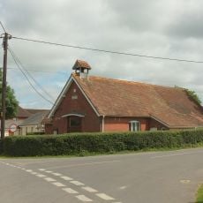
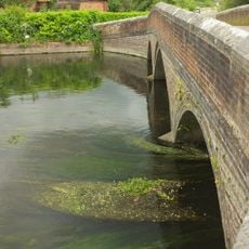
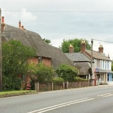
The site is now working farmland and can be explored on foot via walking paths that wind through the earthworks and wooded sections. Wear sturdy shoes as the pasture can become muddy, especially after rain, and be prepared for uneven ground beneath the grass.
A rare silver coin from the Durotrigian people was discovered in a neighboring garden in 1969, offering clues about the economic networks of this settlement. The discovery reveals that inhabitants engaged in trade and exchange beyond their immediate surroundings.
The community of curious travelers
AroundUs brings together thousands of curated places, local tips, and hidden gems, enriched daily by 60,000 contributors worldwide.