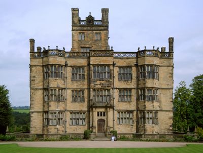
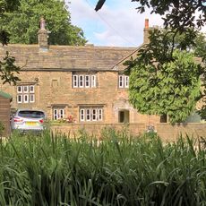
Gawthorpe Hall, English country house in Ightenhill, England
Gawthorpe Hall is an English country house with Elizabethan stonework featuring symmetrical windows and carved decorative details across its multiple floors. Inside, the rooms contain period furnishings, paintings, and objects collected over many centuries.
The house was built around 1600 for the Shuttleworth family and underwent significant renovations across later centuries. The family occupied it for generations until the National Trust eventually took stewardship of the property.
The house holds a major art collection that reflects changing tastes across generations, displayed throughout rooms furnished in period styles. These objects show how wealthy families curated and displayed their possessions as signs of refinement and status.
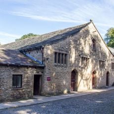
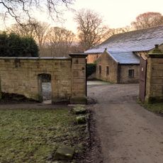
Visitors can tour the house throughout the year, with parking available on site and guided tours offered through the rooms. School groups can arrange educational visits to learn about the history and collections in greater depth.
The surviving household records from Elizabethan times reveal fascinating details about daily life among wealthy families, such as purchases of rose water glasses and distillation equipment. These documents offer a rare glimpse into the actual spending habits and interests of those who lived here.
The community of curious travelers
AroundUs brings together thousands of curated places, local tips, and hidden gems, enriched daily by 60,000 contributors worldwide.