Harewood Park, Country estate in Herefordshire, England
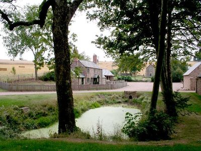
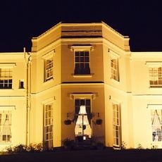
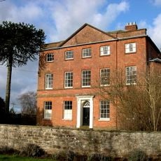
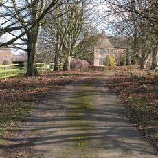
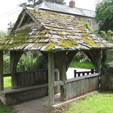
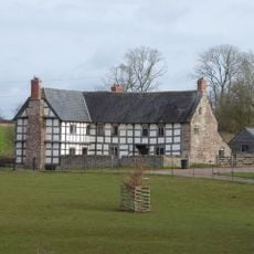
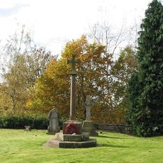
Harewood Park is an English country estate in Herefordshire, set between the city of Hereford and the town of Ross-on-Wye, with a main house, gardens, and surrounding farmland. The grounds roll over open pasture and woodland, following the layout typical of a rural estate in the English countryside.
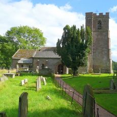
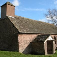
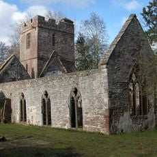
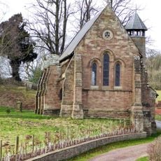
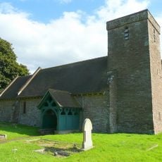
In 1215, King John granted this land to the Knights Templar of Garway, who used it as a hunting estate and built a hall and chapel on the grounds. Over the following centuries, the property passed through several hands before coming under the ownership of the Duchy of Cornwall.
The name Harewood comes from an Old English word meaning hazel wood, which hints at how the land looked long before any buildings stood here. Today the estate is managed as a working property by the Duchy of Cornwall, which keeps it tied to rural life rather than turning it into a showpiece.
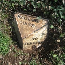
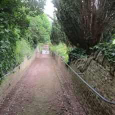
The grounds are uneven with rural paths, so sturdy footwear is a good idea, especially after rain. The estate sits roughly between Hereford and Ross-on-Wye, making it easy to combine with a visit to either town.
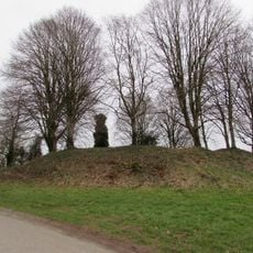
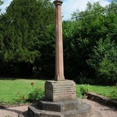
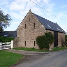
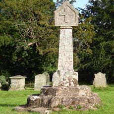
During World War II, the estate served first as an auxiliary hospital and then as a demolition training ground for the Royal Engineers. These two very different uses left marks on the land that a careful visitor can still notice today.
The community of curious travelers
AroundUs brings together thousands of curated places, local tips, and hidden gems, enriched daily by 60,000 contributors worldwide.