
Hargrave, village and civil parish situated in rural Northamptonshire, England
Location: North Northamptonshire
GPS coordinates: 52.32400,-0.48000
Latest update: March 2, 2025 23:58
Yielden Castle
4.4 km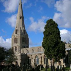
Church of St Peter Parish Church of St Peter
4.4 km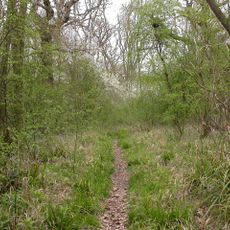
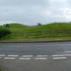
Swineshead Wood
4.5 km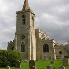
Church of All Saints, Upper Dean
3.2 km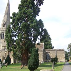
Church of St Lawrence
5.7 km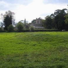
Church of St Mary the Virgin, Shelton, North Bedfordshire
1.9 km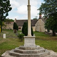
Stanwick War Memorial
5.7 km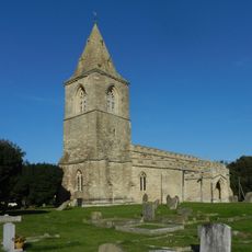
Church of St Mary the Virgin, Yielden
4.4 km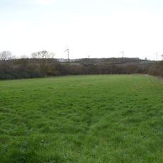
Yelden Meadows
4.3 km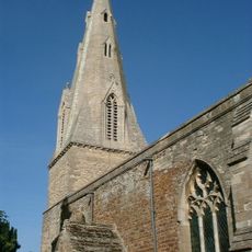
Church of the Nativity of the Blessed Virgin Mary
6.8 km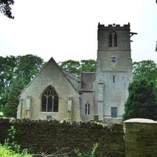
Church of St John the Baptist
5.1 km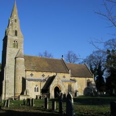
Church of All Saints And Chest Tomb Attached To North Aisle
33 m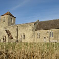
All Saints Church
1.8 km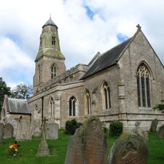
Parish Church of St Lawrence
5.7 km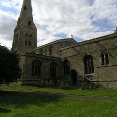
Parish Church of St John the Baptist
4.9 km
Church of All Saints
4.6 km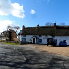
The Three Compasses Public House
3 km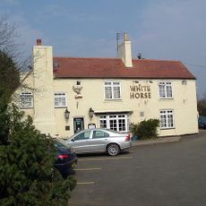
The White Horse Public House
4.3 km
White Hart Public House
5.5 km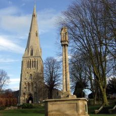
Raunds War Memorial
4.5 km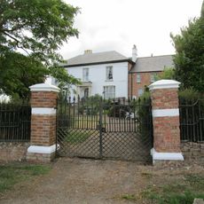
Bythorn House
5.5 km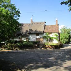
The Nags Head Public House
47 m
Castle Cottage
4.4 km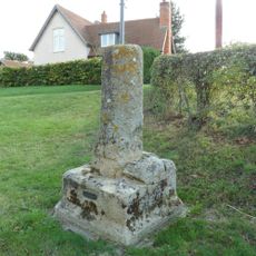
Village Cross
4.6 km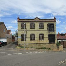
Wescam Engineering (Ernest Chambers Heel Factory)
4.3 km
Lodge Farmhouse
3.2 km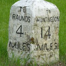
Milestone, Raunds Road, Keyston at jct with The Loop
4.6 km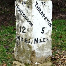
Milestone Circa 10 Metres To West Of The Cottage
5.4 kmVisited this place? Tap the stars to rate it and share your experience / photos with the community! Try now! You can cancel it anytime.
Discover hidden gems everywhere you go!
From secret cafés to breathtaking viewpoints, skip the crowded tourist spots and find places that match your style. Our app makes it easy with voice search, smart filtering, route optimization, and insider tips from travelers worldwide. Download now for the complete mobile experience.

A unique approach to discovering new places❞
— Le Figaro
All the places worth exploring❞
— France Info
A tailor-made excursion in just a few clicks❞
— 20 Minutes