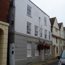
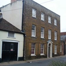
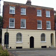
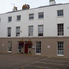
Greyfriars, Canterbury, Monastery ruins and Grade I listed building in Canterbury, England
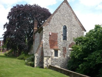
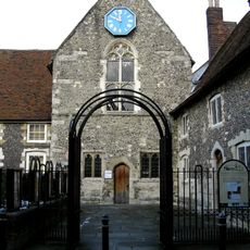
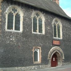
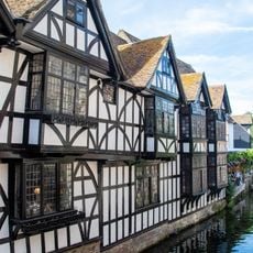
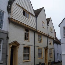
Greyfriars is a medieval friary site in Canterbury featuring a chapel with architectural elements from the 13th century, some of which remain visible today. The grounds sit near a river and are currently managed by the Eastbridge Hospital of St Thomas the Martyr.
The site was established in 1224 when the Franciscan order arrived in England, making it one of the earliest locations where this religious community took root. Over the following centuries, the friary developed into a significant religious center in Canterbury before eventually falling into decline.
The chapel served as a gathering place for prayer and worship across centuries, and this religious role remains visible in its simple architectural design. Visitors can sense this spiritual function in the quiet spaces and the way the remaining structures frame daily contemplation.
The site is freely accessible and works well for a leisurely walk, especially during warmer months when the gardens look their best. It is wise to wear comfortable shoes, as the ground can be uneven and the grounds feature steps and varying levels.
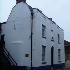
Names of prisoners from the 18th century are carved into the wooden walls of the guesthouse, where people were temporarily held. These inscriptions form an unexpected record of daily life in what became a makeshift prison space at this site.
The community of curious travelers
AroundUs brings together thousands of curated places, local tips, and hidden gems, enriched daily by 60,000 contributors worldwide.