
Higher Hurdsfield, village and civil parish in Cheshire East, Cheshire, UK
Location: Cheshire East
Shares border with: Rainow, Bollington, Macclesfield
GPS coordinates: 53.27100,-2.09600
Latest update: March 3, 2025 13:16
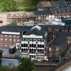
Arighi Bianchi
2.1 km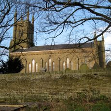
Holy Trinity Church, Hurdsfield
1.4 km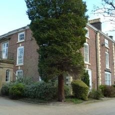
Hurdsfield House
1.4 km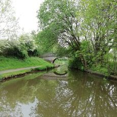
Canal bridge number 33
741 m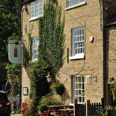
Lord Clyde Inn
2 km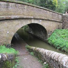
Bridge 29 Macclesfield Canal
1.8 km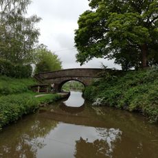
Macclesfield Canal, bridge number 35 at SJ 929 740
1.1 km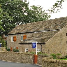
Barn Attached To Cold Arbour Farmhouse
2.1 km
Jenny's Farmhouse
609 m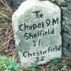
Milestone At Sj 9456 7522
922 m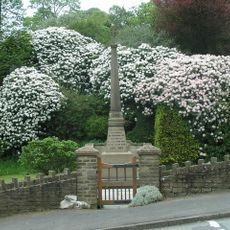
Rainow War Memorial Cross and Seat
1.4 km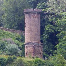
Chimney to air shaft at SJ 9377 7663
1.7 km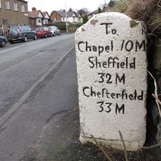
Milestone opposite Number 66 (The Mile House)
610 m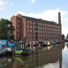
Union Mill
2 km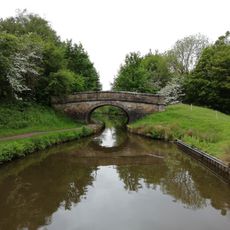
Macclesfield Canal, Bridge Number 36 At Sj 9269 7372
1.5 km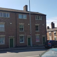
100, 102 And 104, Buxton Road
2 km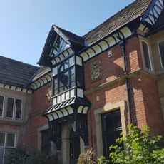
Fence House
2 km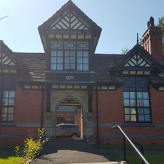
Fence Almshouses
2 km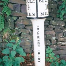
Milepost At Sj 9429 7383
1.2 km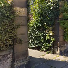
Walls, Gate Piers And Gates Fronting Fence House And Fence Almshouses
2 km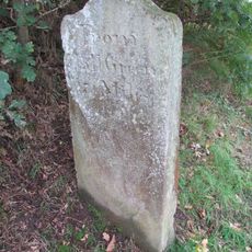
Macclesfield Canal: canal milestone at SJ 9274 7631
1.7 km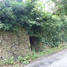
Kiln, 70 Metres North North West Of Ivy House
1.2 km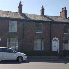
88, 90 And 92, Buxton Road
2 km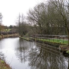
Sluices, weir and culvert carrying Shores Clough under Macclesfield Canal
747 m
Endon Lodge
1.5 km
Parish boundary stone in garden wall of Ivy House
1.1 km
Tower Hill Farm (Not Tower Hill)
1.4 km
Tower Hill Farm (Not Tower Hill Farmhouse)
1.5 kmVisited this place? Tap the stars to rate it and share your experience / photos with the community! Try now! You can cancel it anytime.
Discover hidden gems everywhere you go!
From secret cafés to breathtaking viewpoints, skip the crowded tourist spots and find places that match your style. Our app makes it easy with voice search, smart filtering, route optimization, and insider tips from travelers worldwide. Download now for the complete mobile experience.

A unique approach to discovering new places❞
— Le Figaro
All the places worth exploring❞
— France Info
A tailor-made excursion in just a few clicks❞
— 20 Minutes