
Cotton, village and civil parish in Staffordshire Moorlands, Staffordshire, England
Location: Staffordshire Moorlands
GPS coordinates: 53.01470,-1.90219
Latest update: March 2, 2025 23:29
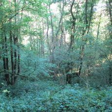
Harston Wood
3.6 km
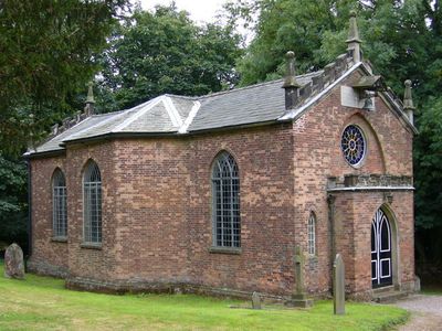
Church of the Holy Trinity
2.1 km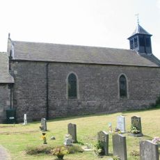
Church of St Mary
5.3 km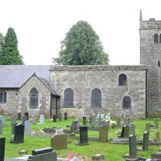
Church of St James and St Bartholomew
5.5 km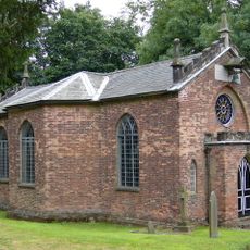
Church of St John Baptist
43 m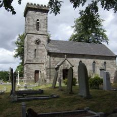
Church of St Mark
3.9 km
Church of St Mary and St Lawrence
3.3 km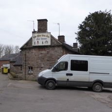
Yew Tree Inn
3.1 km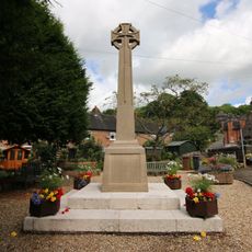
Oakamoor War Memorial
1.9 km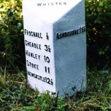
Milepost At Sk 029 474
3.9 km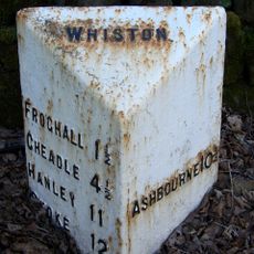
Milepost At Sk 041 474
2.7 km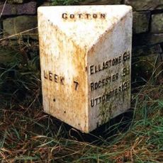
Milepost At Ngr Sk 05894983
3.5 km
Milepost At Ngr Sk 08104566
1.6 km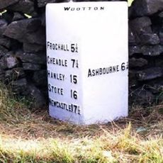
Milepost At Ngr Sk 1010 4762
3.7 km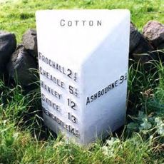
Milepost At Ngr Sk 05514819
2.1 km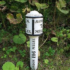
Milepost At Ngr Sk 08685019
4.3 km
Milepost At Ngr At Sk 08554777
2.3 km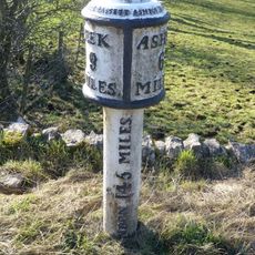
Milepost At Ngr Sk 10004950
4.6 km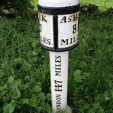
Milepost At Ngr Sk 07265065
4.3 km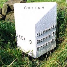
Milepost, Threelows
848 m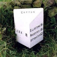
Milepost At Ngr Sk 06414836
2 km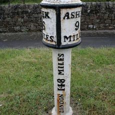
Milepost At Sk 059 514
5.1 km
Milepost At Ngr Sk 1131 4833
5 km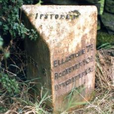
Milepost At Sk 052 513
5.1 km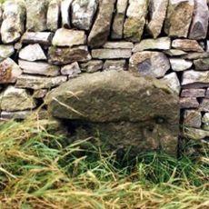
Milestone, S of Dale Farm
3.2 km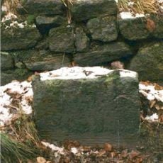
Milestone, Star Bank, between Oakamoor & Cotton crossroads
1.1 km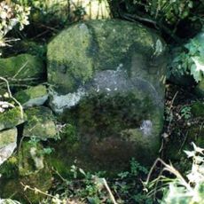
Milestone, Threelows
598 m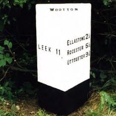
Milepost, near Eid Low, between Wootton & Ramshorn
2.9 kmVisited this place? Tap the stars to rate it and share your experience / photos with the community! Try now! You can cancel it anytime.
Discover hidden gems everywhere you go!
From secret cafés to breathtaking viewpoints, skip the crowded tourist spots and find places that match your style. Our app makes it easy with voice search, smart filtering, route optimization, and insider tips from travelers worldwide. Download now for the complete mobile experience.

A unique approach to discovering new places❞
— Le Figaro
All the places worth exploring❞
— France Info
A tailor-made excursion in just a few clicks❞
— 20 Minutes