
Trysull and Seisdon, civil parish in South Staffordshire, Staffordshire, England
Location: South Staffordshire
GPS coordinates: 52.54713,-2.23362
Latest update: March 29, 2025 21:25
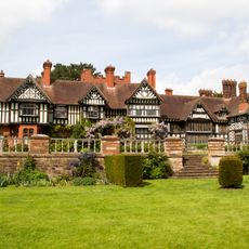
Wightwick Manor
4.8 km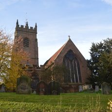
All Saints Church, Claverley
5.1 km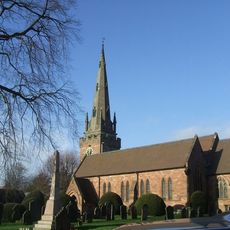
Church of St Benedict Biscop
3.6 km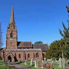
Church of St Chad
5.2 km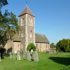
Church of the Holy Cross
5.2 km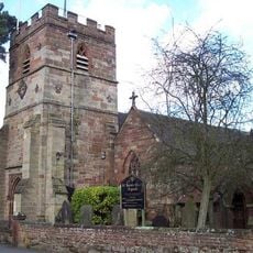
Church of All Saints
958 m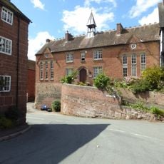
Church of England School
5.1 km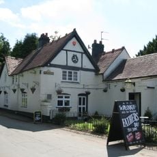
The Plough Inn
968 m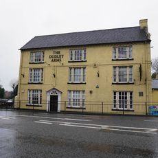
The Dudley Arms
5 km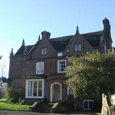
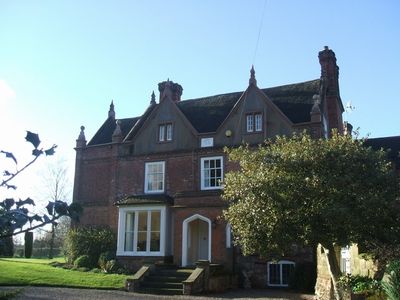
Trysull Manor House And Attached Coach House And Stable Block
693 m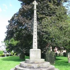
Trysull and Seisdon War Memorial
937 m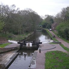
Botterham bridge and locks with adjacent circular weir
3.5 km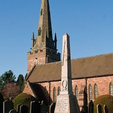
Wombourne War Memorial
3.6 km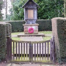
Claverley War Memorial
6 km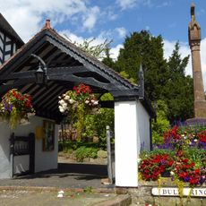
Lychgate
5.1 km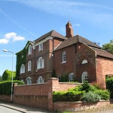
The Red House
814 m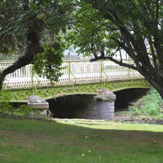
Bridge Over Smestow Brook
932 m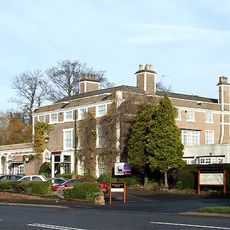
Himley House Hotel
5.1 km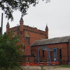
The Bratch Water Pumping Station
2.7 km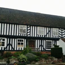
The Vicarage
5.1 km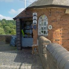
Staffordshire And Worcestershire Canal Bratch Locks, Bridge Number 47 (Bratch Bridge) Staffordshire And Worcestershire Canal Upper Bratch Bridge And Associated Toll House
2.6 km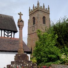
Churchyard cross
5.1 km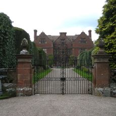
Ludstone Hall
4.2 km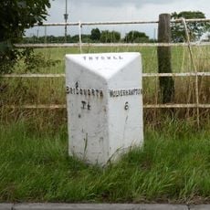
Milepost, E of Fox Road jct, opp public house car Park
2.4 km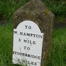
Milestone, Stourbridge Road, Lloyd Hill
4.2 km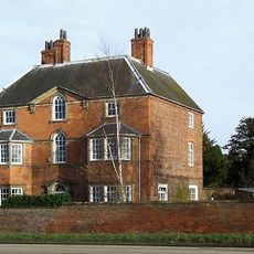
The Old Rectory
5.2 km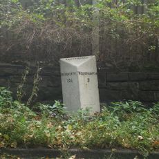
Milepost, Bridgnorth Road, Wightwick
4.4 km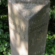
Milepost, SE of Smestow Bridge
2.6 kmVisited this place? Tap the stars to rate it and share your experience / photos with the community! Try now! You can cancel it anytime.
Discover hidden gems everywhere you go!
From secret cafés to breathtaking viewpoints, skip the crowded tourist spots and find places that match your style. Our app makes it easy with voice search, smart filtering, route optimization, and insider tips from travelers worldwide. Download now for the complete mobile experience.

A unique approach to discovering new places❞
— Le Figaro
All the places worth exploring❞
— France Info
A tailor-made excursion in just a few clicks❞
— 20 Minutes