
Hoo, village and civil parish in Suffolk, United Kingdom
Location: Suffolk Coastal
Location: East Suffolk
GPS coordinates: 52.18200,1.29900
Latest update: March 4, 2025 13:41
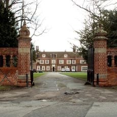
Brandeston Hall
1.6 km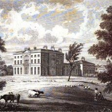
Glevering Hall
4.4 km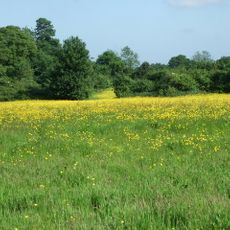
Martin's Meadows
3.3 km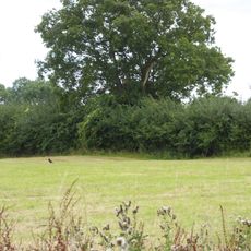
Moat Farm Meadows
4.3 km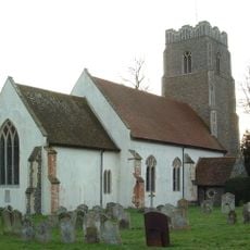
Church of All Saints
1.7 km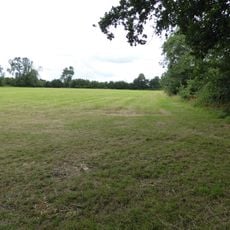
High House Meadows, Monewden
2.9 km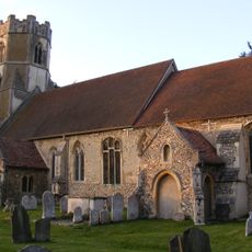
Church of All Saints, Easton
2.7 km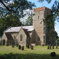
Church of St Mary
4 km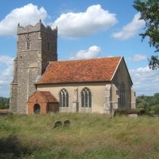
Church of St Mary, Letheringham
1.2 km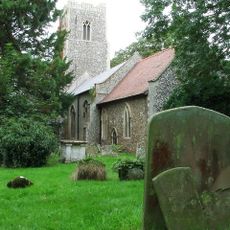
Church of St Mary
4.8 km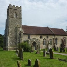
Church of St Andrew
1.9 km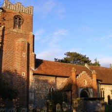
Church of St Peter
2.3 km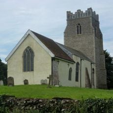
Church of St Peter
3.3 km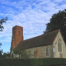
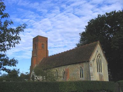
Church of St Andrew and St Eustachius
390 m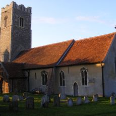
Church of St Mary
1.8 km
The White Horse, Easton
2.7 km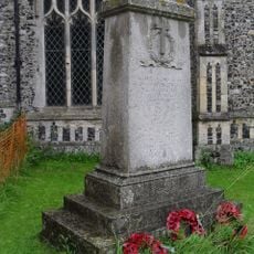
Framsden War Memorial
5.6 km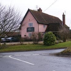
New Bell Public House
3.1 km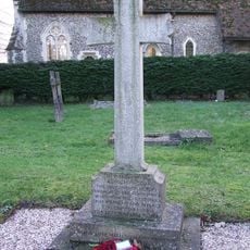
Debach War Memorial
4.7 km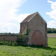
Letheringham Priory and remains of 17th century walled garden
1.2 km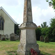
Cretingham War Memorial
3.3 km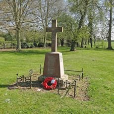
Brandeston War Memorial
1.7 km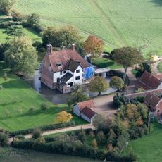
Letheringham Lodge
2.7 km
Cottage Immediately South West Of Church Cottage
1.9 km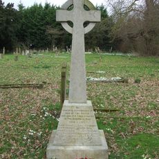
Dallinghoo War Memorial
4.1 km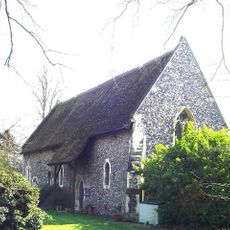
All Saints House
4.7 km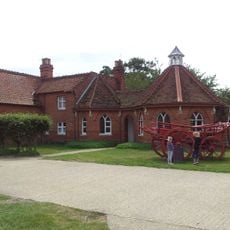
Easton Farm Park
2.2 km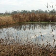
Rectory Farmhouse
2.5 kmReviews
Visited this place? Tap the stars to rate it and share your experience / photos with the community! Try now! You can cancel it anytime.
Discover hidden gems everywhere you go!
From secret cafés to breathtaking viewpoints, skip the crowded tourist spots and find places that match your style. Our app makes it easy with voice search, smart filtering, route optimization, and insider tips from travelers worldwide. Download now for the complete mobile experience.

A unique approach to discovering new places❞
— Le Figaro
All the places worth exploring❞
— France Info
A tailor-made excursion in just a few clicks❞
— 20 Minutes