Enable Location

We need your location to show you interesting places around you

Discover nearby places

Find interesting locations and hidden gems around you

Precise directions

Get accurate directions and distances to places

Your location is never shared with other users. It's only used when you tap the location button.

Llan Ddu Fawr

Log in to your account

Start exploring — it's free

Trusted by 62,846 travelers worldwide

Continue with Google
Continue with Apple
or

We will send you a code to connect

By continuing, you accept our Terms and Conditions and our Privacy Policy

Check your inbox

We've sent a pincode in your inbox. Please enter the code below.

Llan Ddu Fawr

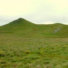
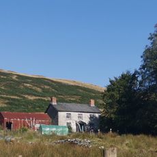
Llan Ddu Fawr, Summit in Ceredigion, Wales.

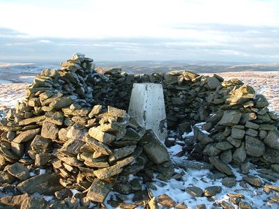
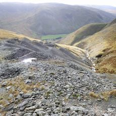
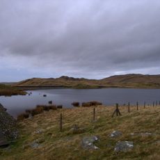
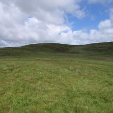
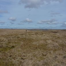
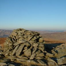
Llan Ddu Fawr is a 594-meter peak in Ceredigion, Wales, marked by an Ordnance Survey trig point and two cairns on its summit. The surrounding terrain features multiple boggy areas that shape how visitors navigate the hill.

The mountain gained recognition through its inclusion in the Dewey Hill List and Marilyn Hills catalog because of its 168-meter prominence. This classification reflects its status as a notable peak in the British landscape.

The Welsh name means 'the great black hill' and reflects how local geography shaped traditional naming practices in the region. This reflects how the landscape influenced the language and culture of the area.

The boggy terrain becomes particularly challenging after rain, so waterproof footwear and careful footing are essential for safe navigation. Planning your route ahead helps you avoid the wettest sections and makes the climb easier.

The summit reveals different eras of human activity with a modern trig point standing beside two ancient cairns of different sizes. The larger cairn spans about 15 meters in diameter and shows how people have marked this location across centuries.

The community of curious travelers

AroundUs brings together thousands of curated places, local tips, and hidden gems, enriched daily by 60,000 contributors worldwide.

Start exploring
Location
Elevation above the sea
594 m
GPS coordinates
52.31450,-3.78000
Latest update
December 14, 2025 16:42
« Llan Ddu Fawr - Summit in Ceredigion, Wales » is provided by Around Us (aroundus.com). Images and texts are derived from Wikimedia project under a Creative Commons license. You are allowed to copy, distribute, and modify copies of this page, under the conditions set by the license, as long as this note is clearly visible.

Discover hidden gems everywhere you go!

From secret cafés to breathtaking viewpoints, skip the crowded tourist spots and find places that match your style. Our app makes it easy with voice search, smart filtering, route optimization, and insider tips from travelers worldwide. Download now for the complete mobile experience.

Around Us App Screenshot

A unique approach to discovering new places

Le Figaro

All the places worth exploring

France Info

A tailor-made excursion in just a few clicks

20 Minutes

Around Us
Travel Guide & Maps
Download

Send to your phone

QR Code
1

Open the camera app on your mobile.

2

Point at the QR code with your camera. A notification will appear.

3

Tap the notification to open the link.