Chest opened
+${chestReward.xp} XP
Explorer
NOUVEAU ×${chestReward.collectible.quantity}
tapez pour fermer
Chest locked

Open chests in the app

Around Us is built for your phone — chests unlock when you walk, explore and capture nearby places.

Enable Location

We need your location to show you interesting places around you

Discover nearby places

Find interesting locations and hidden gems around you

Precise directions

Get accurate directions and distances to places

Your location is never shared with other users. It's only used when you tap the location button.

Landsker Borderlands Trail

Log in to your account

Start exploring — it's free

Trusted by 72,882 travelers worldwide

Continue with Google
Continue with Apple
or

We will send you a code to connect

By continuing, you accept our Terms and Conditions and our Privacy Policy

Check your inbox

We've sent a pincode in your inbox. Please enter the code below.

Landsker Borderlands Trail
Discussion Reviews 1 Photos
1.2k Popularity

Landsker Borderlands Trail, Long distance footpath in the UK

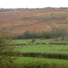
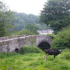
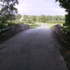
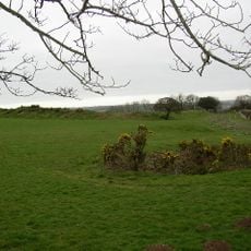
The Landsker Borderlands Trail is a long-distance walking route of about 96 kilometers across Pembrokeshire and Carmarthenshire in Wales. The path follows rural lanes, country tracks, and footpaths through quiet villages, farmland, and river valleys with gentle hills and varied terrain.

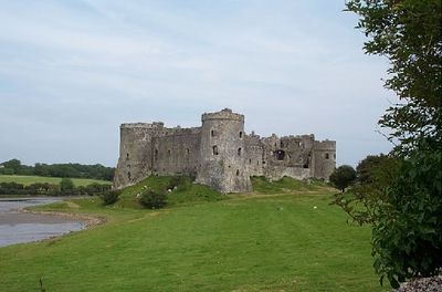
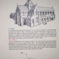
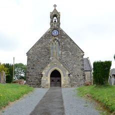
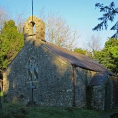
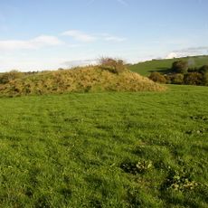
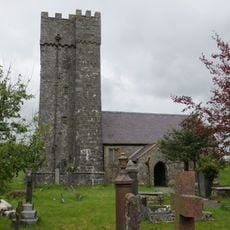
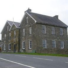
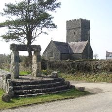
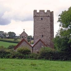
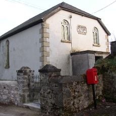
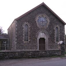
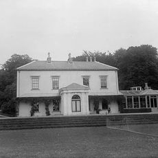
The trail follows an ancient boundary line between Wales and England that emerged about a thousand years ago and has remained in place until today. Key historical sites along the route include Whitland Abbey, a ruined monastery, and Llawhaden Castle, which demonstrate the region's importance as a frontier zone.

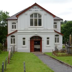
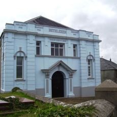
The name Landsker comes from Old Norse and means border or frontier. The region still bears traces of the division between Welsh-speaking and English-speaking areas that has lasted for about a thousand years, visible in place names and local life. Walkers notice how this cultural boundary continues to shape the character of villages and surrounding countryside.

The route is marked on official maps with special symbols like Celtic crosses and can be navigated using published walking maps or GPS files. It is wise to carry plenty of water and supplies, as shops and villages are limited along the way and some sections are isolated from services.

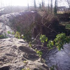
Traces of former industry dot the route, including abandoned quarries and old railway beds left from coal mining and stone extraction activities. These remnants reveal how earlier generations earned their living from the land and shaped the landscape.

The community of curious travelers

AroundUs brings together thousands of curated places, local tips, and hidden gems, enriched daily by 60,000 contributors worldwide.

Start exploring
Location
GPS coordinates
51.81900,-4.61400
Latest update
February 9, 2026 07:45
Reviews
Share your experience

No review yet

Discussions
Start a discussion...

No discussion yet

« Landsker Borderlands Trail - Long distance footpath in the UK » is provided by Around Us (aroundus.com). Images and texts are derived from Wikimedia project under a Creative Commons license. You are allowed to copy, distribute, and modify copies of this page, under the conditions set by the license, as long as this note is clearly visible.

Discover hidden gems everywhere you go!

From secret cafés to breathtaking viewpoints, skip the crowded tourist spots and find places that match your style. Our app makes it easy with voice search, smart filtering, route optimization, and insider tips from travelers worldwide. Download now for the complete mobile experience.

Around Us App Screenshot

A unique approach to discovering new places

Le Figaro

All the places worth exploring

France Info

A tailor-made excursion in just a few clicks

20 Minutes

Around Us
Travel Guide & Maps
Download

Send to your phone

QR Code
1

Open the camera app on your mobile.

2

Point at the QR code with your camera. A notification will appear.

3

Tap the notification to open the link.