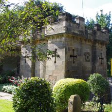
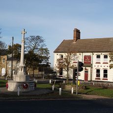
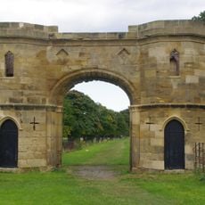
Langbaurgh Wapentake, Administrative division in North Yorkshire, England
Langbaurgh Wapentake was a medieval administrative region that stretched along the River Tees, encompassing settlements from Low Worsall through to South Gare and the coast. The territory contained seventeen parishes on its western side and numerous communities further east, creating a diverse landscape of inland and coastal areas.
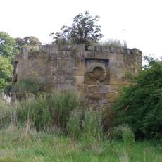
This region emerged in the medieval period as an administrative district, taking its name from a hamlet near Great Ayton, and served for centuries as a land management unit in the North Riding of Yorkshire. Its purpose was to divide territory into manageable sections for local governance and organization.
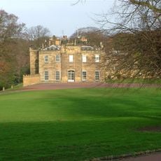
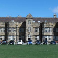
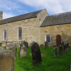
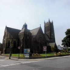
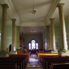
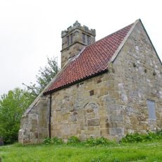
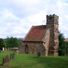
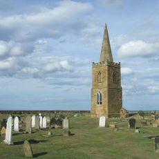
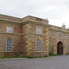
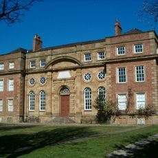
This territory housed communities that developed distinct local identities rooted in riverside and coastal living. The parishes grew around farming and fishing traditions, with each settlement maintaining its own character shaped by proximity to water and local resources.
The region overlapped parts of several modern districts including Middlesbrough, Redcar, and areas beyond, showing how administrative boundaries shifted over time. To understand the historical extent, visitors comparing medieval maps with current boundaries will see how the old division no longer aligns with modern administrative areas.
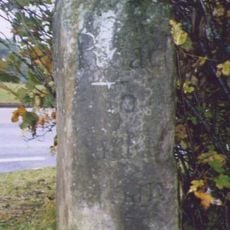
A natural watercourse marked the eastern boundary of this territory, with Dunsley Beck separating it from the neighboring Whitby Strand wapentake while shaping the local geography. This stream served as both a border marker and a defining physical feature of the landscape.
The community of curious travelers
AroundUs brings together thousands of curated places, local tips, and hidden gems, enriched daily by 60,000 contributors worldwide.