
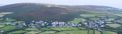
Llangennith, village in Wales
Location: Llangennith, Llanmadoc and Cheriton
GPS coordinates: 51.60100,-4.27300
Latest update: March 7, 2025 11:05
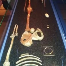
Red Lady of Paviland
5.8 km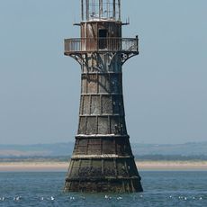
Whiteford Lighthouse
5.9 km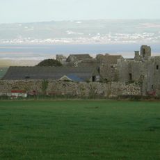
Weobley Castle
5.3 km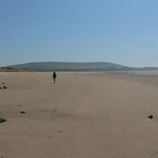
Whiteford Sands
4.1 km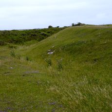
Deborah's Hole Camp
5.2 km
St Cadoc's Church
2.9 km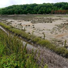
Cwm Ivy Marsh
2.9 km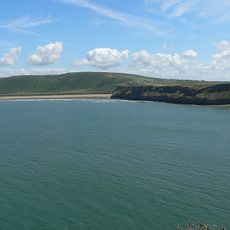
Rhossili Down
2.8 km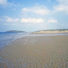
Rhossili Beach
1.7 km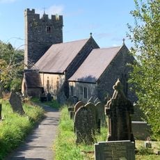
Parish Church Of St Rhidian And St Illtyd
7 km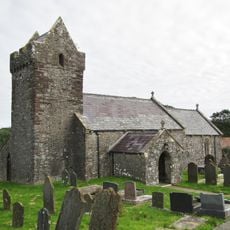
St David's Church
4.2 km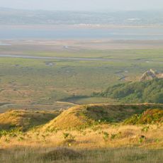
The Bulwark, Llanmadoc Hill
2 km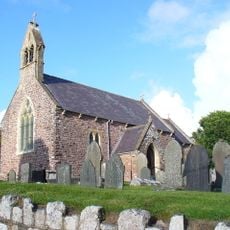
St George's Church
5.5 km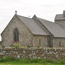
Church of St Mary
3.6 km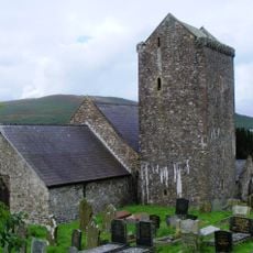
Church Of St Cenydd
251 m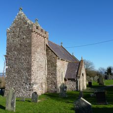
Church of St Madoc
2.2 km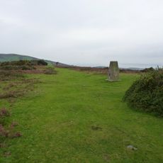
Ryer's Down
3.1 km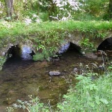
Kittlehill Packhorse Bridge
3.4 km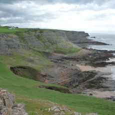
Thurba Head
4.5 km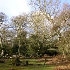
Berry Wood
5.5 km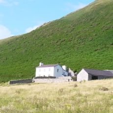
Rhossili Old Rectory
2.6 km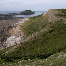
Worm's Head
5.2 km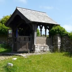
St Cenydd's Lychgate
226 m
Stouthall
5.3 km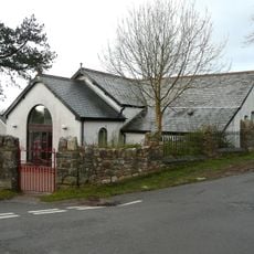
Reynoldston Wesleyan Methodist Chapel
5.6 km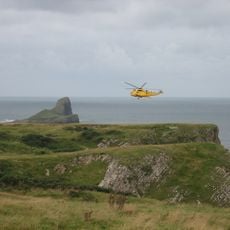
Old Castle Promontory Fort, Rhossili
4 km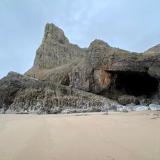
Lewes Castle Promontory Fort, Rhossili
4.4 km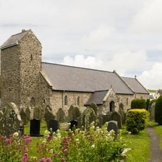
Rhossili Church of St Mary the Virgin
3.6 kmVisited this place? Tap the stars to rate it and share your experience / photos with the community! Try now! You can cancel it anytime.
Discover hidden gems everywhere you go!
From secret cafés to breathtaking viewpoints, skip the crowded tourist spots and find places that match your style. Our app makes it easy with voice search, smart filtering, route optimization, and insider tips from travelers worldwide. Download now for the complete mobile experience.

A unique approach to discovering new places❞
— Le Figaro
All the places worth exploring❞
— France Info
A tailor-made excursion in just a few clicks❞
— 20 Minutes