Langley Wood and Homan's Copse, Protected woodland site in Wiltshire, United Kingdom.
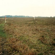
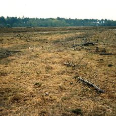
Langley Wood and Homan's Copse is a protected woodland covering around 219 hectares with mixed stands of oak, ash, birch, and other native trees. The site is accessed by designated footpaths that wind through the forest, allowing visitors to move through different woodland sections.
The site gained protection as a Site of Special Scientific Interest in 1985, formally recognizing its ecological value. This designation reflected growing efforts in Britain to safeguard natural habitats for research and conservation.
This woodland is part of a network of protected areas that allows visitors to experience how native forests are cared for and studied. The site shows how scientific work and land management support the survival of plants and animals that depend on these spaces.
Visitors should wear sturdy footwear, as paths can become muddy or uneven depending on the season. The ground may become slippery in wet weather, so care is needed when walking.
The woodland contains sections of ancient forest ecosystems that have existed with minimal human intervention for generations. This original character makes it a rare example of what English woodlands once looked like before modern land use transformed the landscape.
GPS coordinates: 50.98430,-1.67372
Latest update: December 14, 2025 18:15
Hale Park
5 km
The Pepperbox
4.6 km
Church of St Laurence
5 km
Landford Manor
3.2 km
Church of St Birinus
3.2 km
Church of St Peter
4.8 km
Church of St Andrew
3.2 km
Church of All Saints
3.4 km
Church of St Peter
5.3 km
The Wooden Spoon
4.9 km
The Kings Head
2.9 km
Nomansland War Memorial
4.1 km
The Kings Head
3.4 km
County Bridge
5.3 km
Melchet Court
4.4 km
The Kings Arms
5 km
The Moot with attached kitchen
4.8 km
Manor House
5 km
Newhouse
1.4 km
Gate And Gate Piers To Gardens Opposite The Moot
4.9 km
Milestone Opposite Brickworth Filling Station
3.2 km
Bowl barrow 645m north of Longcross Pond forming part of Black Bush Plain round barrow cemetery
5.1 km
Milestone In Lay By Approximately 300 Metres South Of Bridge Farmhouse
3.3 km
The Moot: a ringwork and bailey, earlier Roman settlement remains and later garden earthworks immediately east of the River Avon
5 km
Four bowl barrows west of Breamore Hat
5 km
Milestone, Lyndhurst Road at SU2598417969
4 km
Milestone, Pepperbox Hill; 100m W track to car park,
4.7 km
Milepost, Southampton Road, Plaitford; 100m E The Shoe Inn next to entrance "Forest Acre"
4.9 kmVisited this place? Tap the stars to rate it and share your experience / photos with the community! Try now! You can cancel it anytime.
Discover hidden gems everywhere you go!
From secret cafés to breathtaking viewpoints, skip the crowded tourist spots and find places that match your style. Our app makes it easy with voice search, smart filtering, route optimization, and insider tips from travelers worldwide. Download now for the complete mobile experience.
A unique approach to discovering new places❞
— Le Figaro
All the places worth exploring❞
— France Info
A tailor-made excursion in just a few clicks❞
— 20 Minutes