Enable Location

We need your location to show you interesting places around you

Discover nearby places

Find interesting locations and hidden gems around you

Precise directions

Get accurate directions and distances to places

Your location is never shared with other users. It's only used when you tap the location button.

Logic Lane covered bridge

Log in to your account

Start exploring — it's free

Trusted by 61,440 travelers worldwide

Continue with Google
Continue with Apple
or

We will send you a code to connect

By continuing, you accept our Terms and Conditions and our Privacy Policy

Check your inbox

We've sent a pincode in your inbox. Please enter the code below.

Logic Lane covered bridge

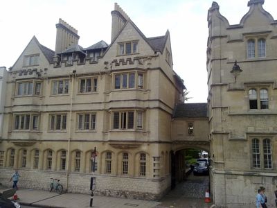
Logic Lane covered bridge, Covered footbridge at University College, Oxford, England

Description

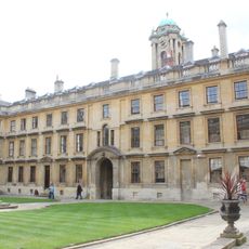
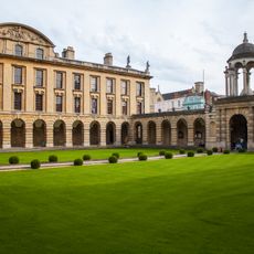
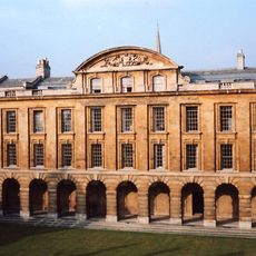
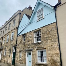
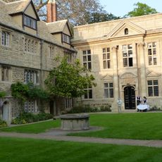
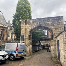
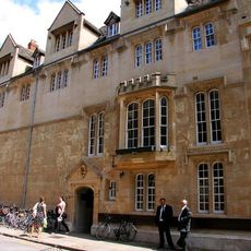
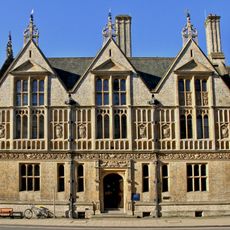
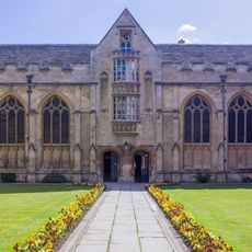
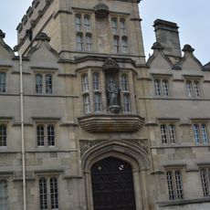
Logic Lane covered bridge is a covered footbridge at University College Oxford that connects two building groups across a small cobbled passage. The structure spans between Radcliffe Quad and the Durham Buildings.

History

Harry Wilkinson Moore designed this bridge in 1904 after a legal dispute with Oxford City Council regarding its construction over a public right of way was resolved. The project solved the challenge of linking two separate parts of the college.

Culture

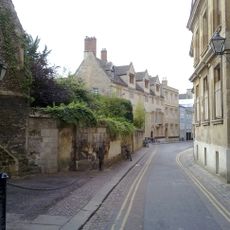
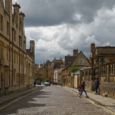
The bridge serves as a daily passage for students and faculty moving between academic spaces within the college. It reflects how the institution expanded its buildings over time and created connections between different areas of campus.

Practical

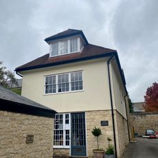
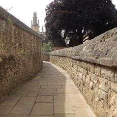
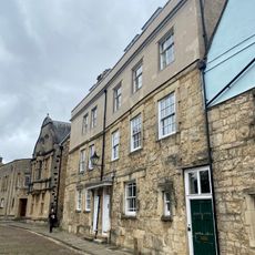
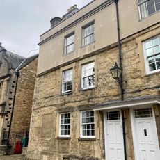
The bridge is accessible during college opening hours and is located at the High Street end of Logic Lane. It provides shelter from rain when moving between the buildings.

Did you know?

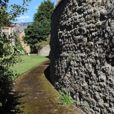
Excavations near the site revealed Bronze Age ditches and Saxon settlements, showing thousands of years of human activity at this location. The findings indicate that this area has been inhabited long before the college was founded.

GPS coordinates
51.75253,-1.25111
Latest update
December 12, 2025 12:05

AroundUs brings together thousands of curated places, local tips, and hidden gems, enriched daily by 60,000 contributors worldwide. Discover all places nearby (United Kingdom).

Around this place
Shelley Memorial
United Kingdom

Shelley Memorial

92 m
Examination Schools
United Kingdom

Examination Schools

90 m
Radcliffe Quadrangle
United Kingdom

Radcliffe Quadrangle

22 m
Merton Street tennis court
United Kingdom

Merton Street tennis court

109 m
The Queens College, South Range, Back Quadrangle
United Kingdom

The Queens College, South Range, Back Quadrangle

97 m
The Queens College, East Range, Front Quadrangle
United Kingdom

The Queens College, East Range, Front Quadrangle

61 m
The Queens College, West Range, Front Quadrangle
United Kingdom

The Queens College, West Range, Front Quadrangle

67 m
The Queens College, Walls Lining The Lane Leading From The Back Quadrangle To The Brewhouse
United Kingdom

The Queens College, Walls Lining The Lane Leading From The Back Quadrangle To The Brewhouse

110 m
The Queens College, East Range, Back Quadrangle
United Kingdom

The Queens College, East Range, Back Quadrangle

113 m
The Queens College, North Range, Front Quadrangle (including Hall And Chapel)
United Kingdom

The Queens College, North Range, Front Quadrangle (including Hall And Chapel)

87 m
The Queens College, Fountain In Back Court
United Kingdom

The Queens College, Fountain In Back Court

112 m
The Queens College, West Range, Back Quadrangle
United Kingdom

The Queens College, West Range, Back Quadrangle

109 m
Street Surface Of Merton Street
United Kingdom

Street Surface Of Merton Street

114 m
All Souls College, Wardens Lodging
United Kingdom

All Souls College, Wardens Lodging

90 m
The Queens College, South Range, Front Quadrangle
United Kingdom

The Queens College, South Range, Front Quadrangle

30 m
Merton College, The Wardens House
United Kingdom

Merton College, The Wardens House

102 m
15, Merton Street
United Kingdom

15, Merton Street

117 m
St Edmund Hall, North Range
United Kingdom

St Edmund Hall, North Range

105 m
University College, Archway, Forming The South West Entrance Of The College Onto Kybald Street
United Kingdom

University College, Archway, Forming The South West Entrance Of The College Onto Kybald Street

119 m
Oxford city walls
United Kingdom

Oxford city walls

119 m
St Edmund Hall, West Range
United Kingdom

St Edmund Hall, West Range

74 m
Entrance Screen Of The Examination Schools Fronting Merton Street
United Kingdom

Entrance Screen Of The Examination Schools Fronting Merton Street

112 m
Merton College, Screen Wall Of The Wardens House
United Kingdom

Merton College, Screen Wall Of The Wardens House

114 m
University Registry Annexe
United Kingdom

University Registry Annexe

107 m
University College, South Range including Chapel, Hall and Kitchen
United Kingdom

University College, South Range including Chapel, Hall and Kitchen

75 m
Sedan Hall
United Kingdom

Sedan Hall

110 m
13, Merton Street
United Kingdom

13, Merton Street

106 m
University College, Gatehouse University College, North Range
United Kingdom

University College, Gatehouse University College, North Range

61 m
Show the full map
« Logic Lane covered bridge - Covered footbridge at University College, Oxford, England » is provided by Around Us (aroundus.com). Images and texts are derived from Wikimedia project under a Creative Commons license. You are allowed to copy, distribute, and modify copies of this page, under the conditions set by the license, as long as this note is clearly visible.

Discover hidden gems everywhere you go!

From secret cafés to breathtaking viewpoints, skip the crowded tourist spots and find places that match your style. Our app makes it easy with voice search, smart filtering, route optimization, and insider tips from travelers worldwide. Download now for the complete mobile experience.

Around Us App Screenshot

A unique approach to discovering new places

Le Figaro

All the places worth exploring

France Info

A tailor-made excursion in just a few clicks

20 Minutes

Around Us
Travel Guide & Maps
Download

Send to your phone

QR Code
1

Open the camera app on your mobile.

2

Point at the QR code with your camera. A notification will appear.

3

Tap the notification to open the link.