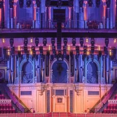
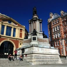
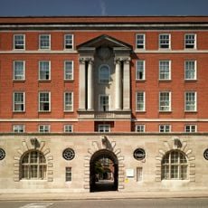
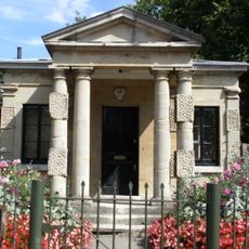
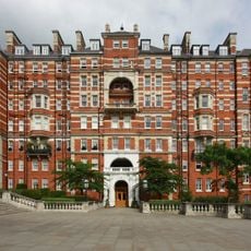
London Map Fair, Annual antique map event at Royal Geographical Society, London, England
The London Map Fair is an annual event held at the Royal Geographical Society where approximately 40 international dealers display antique maps, atlases, maritime charts, and town plans spanning several centuries. The collection ranges from early printed works to carefully crafted pieces from later periods, covering geographic depictions from around the world.
Established in 1980, the fair developed over the following decades into Europe's largest trading event dedicated to antique maps. It gradually became the primary meeting place for serious collectors and cartography professionals seeking rare and valuable pieces.
The fair attracts map collectors and cartography enthusiasts from around the world who gather to discuss rare finds and historical depictions of distant lands. Conversations between dealers and visitors reveal the stories behind how people once understood and navigated the world.
Plan to spend time browsing multiple dealer stands, as each seller specializes in different regions and time periods. It helps to think ahead about which areas or eras interest you most so you can focus your visit and spot pieces that match your interests.
The fair is more than just a buying venue; it includes conversations with experts who explain the craft of mapmaking and historical navigation practices. Many visitors discover unexpected connections between their own regions and how cartographers depicted those places across different centuries.
The community of curious travelers
AroundUs brings together thousands of curated places, local tips, and hidden gems, enriched daily by 60,000 contributors worldwide.