Enable Location

We need your location to show you interesting places around you

Discover nearby places

Find interesting locations and hidden gems around you

Precise directions

Get accurate directions and distances to places

Your location is never shared with other users. It's only used when you tap the location button.

Log in to your account

Start exploring — it's free

Trusted by 61,465 travelers worldwide

Continue with Google
Continue with Apple
or

We will send you a code to connect

By continuing, you accept our Terms and Conditions and our Privacy Policy

Check your inbox

We've sent a pincode in your inbox. Please enter the code below.

Lozells

Lozells, Inner suburb in Birmingham, England

Description

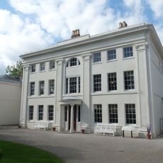
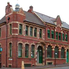
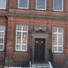
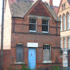
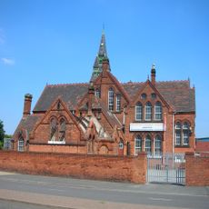
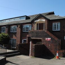
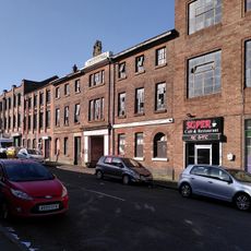
Lozells is an inner suburb of Birmingham that stretches along the central route connecting Handsworth and Aston, with terraced houses forming the backbone of residential architecture. The neighborhood contains primary schools, medical facilities, and public transport stops that serve daily needs for those who live here.

History

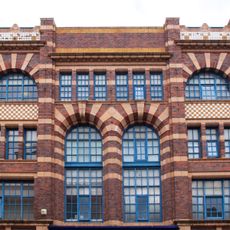
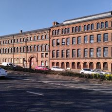
The area took shape during the Industrial Revolution when factory workers sought housing close to their workplaces, sparking rapid construction of densely packed terraced houses. This period of growth established the neighborhood's character that persists today.

Culture

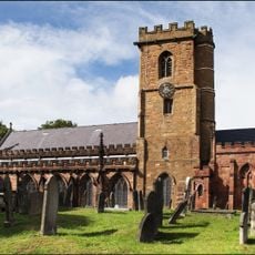
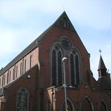
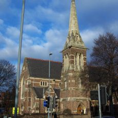
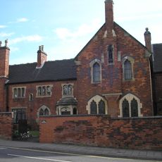
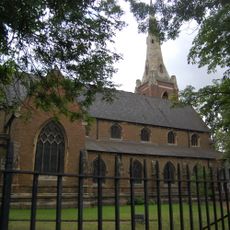
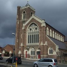
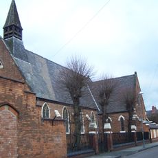
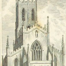
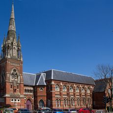
The neighborhood serves as a gathering place for multiple faith communities, with several churches scattered throughout that remain active centers of worship and social connection. These buildings are woven into the daily fabric of local life and reflect the diversity of residents.

Practical

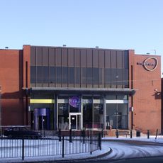
The area is walkable and well-connected by public transport to other parts of Birmingham, making it straightforward to navigate. Essential services such as schools and healthcare facilities are distributed throughout the neighborhood within reasonable walking distance.

Did you know?

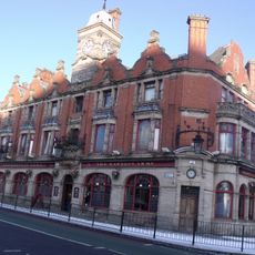
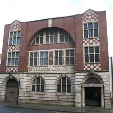
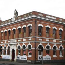
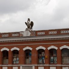
The former Royal Oak pub on Lozells Road features a stone carving by sculptor William Bloye depicting the original name of the establishment. This carved detail remains visible today as a small reminder of the building's past and the neighborhood's artistic heritage.

Location
Part of
Birmingham
GPS coordinates
52.50150,-1.90982
Latest update
December 10, 2025 15:59

AroundUs brings together thousands of curated places, local tips, and hidden gems, enriched daily by 60,000 contributors worldwide. Discover all places nearby (Birmingham).

« Lozells - Inner suburb in Birmingham, England » is provided by Around Us (aroundus.com). Images and texts are derived from Wikimedia project under a Creative Commons license. You are allowed to copy, distribute, and modify copies of this page, under the conditions set by the license, as long as this note is clearly visible.

Discover hidden gems everywhere you go!

From secret cafés to breathtaking viewpoints, skip the crowded tourist spots and find places that match your style. Our app makes it easy with voice search, smart filtering, route optimization, and insider tips from travelers worldwide. Download now for the complete mobile experience.

Around Us App Screenshot

A unique approach to discovering new places

Le Figaro

All the places worth exploring

France Info

A tailor-made excursion in just a few clicks

20 Minutes

Around Us
Travel Guide & Maps
Download

Send to your phone

QR Code
1

Open the camera app on your mobile.

2

Point at the QR code with your camera. A notification will appear.

3

Tap the notification to open the link.