Meneage, Historical region in southern Cornwall, England.
Description
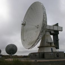
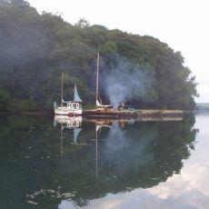
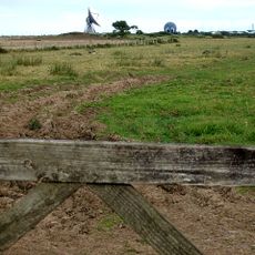
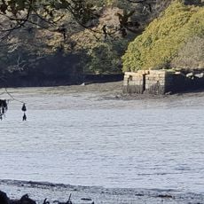
Meneage is a historical region on the Lizard Peninsula in southern Cornwall, defined by granite formations and a jagged coastline with many small coves. The area spreads across varying landscapes including moorland and steep cliffs that drop toward the sea.
History
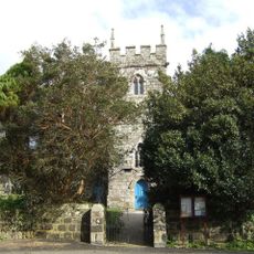
The area takes its name from the Cornish word 'Menek', referring to monastic lands managed by religious institutions during medieval times. This heritage reveals the region's role as part of church-controlled territory during that period.
Culture
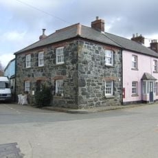
Local residents maintain traditional farming practices, with dairy production and market gardening playing central roles in the agricultural community.
Practical
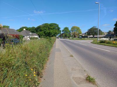
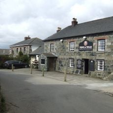
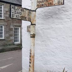
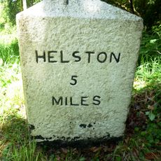
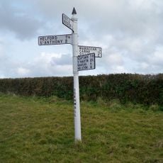
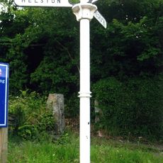
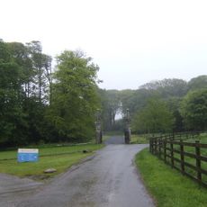
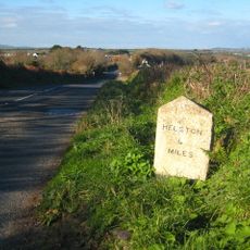
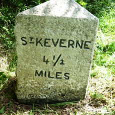
The region connects to major Cornish towns like Helston through the A3083 road, offering easy access to services and local facilities. Visitors find parking and marked paths distributed throughout the area for exploration.
Did you know?
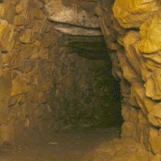
The area contains rare minerals and serpentine rock formations dating back millions of years that form important geological features of the coastal landscape. This unusual geology makes the region particularly valuable for those interested in natural sciences and earth structure.
AroundUs brings together thousands of curated places, local tips, and hidden gems, enriched daily by 60,000 contributors worldwide. Discover all places nearby (United Kingdom).
Halliggye Fogou
1.7 km
Church of Saint Maugan
2.1 km
Church of St Martin
925 m
Goonhilly Antenna No. 1
3.1 km
Goonhilly Antenna No. 3
3.3 km
The Prince Of Wales Public House
1.7 km
The Shipwright's Arms Public House
3.4 km
Guide Post Near The South End Of Alpha Cottage
3.4 km
Kitchen Garden Walls
1.1 km
Double Lodge, Gate Piers And Screen Walls
2.1 km
Gear Farmhouse And Garden Wall To Front
927 m
Tremayne Quay
1.7 km
Trelowarren House
1 km
Milestone At South West End Of Gweek Bridge
3.3 km
Inscribed Stone At Approximately 5 Metres South Of Church Of St Martin
921 m
Mawgan Cross early Christian memorial stone and wayside cross shaft
2.3 km
Corner House
1.7 km
Three bowl barrows 815m north west of Leech Pool forming part of a round barrow cemetery on Goonhilly Downs
3.1 km
Gate Piers, Flanking Walls And Stile At Approximately 16 Metres West Of Church Of St Martin
906 m
Milestone, Trelowarren, just S of jct
2.1 km
Guidepost At Sw 756 247
2.7 km
Guide Post At Junction Between B3291 And Gweek Lane
3.3 km
Milestone At Sw708241
2.2 km
Entrance Gate Piers And Gates At Approx 150 Metres West Of Trelowarren House
1.2 km
Merthen Quay Including Revetment Adjoining On South West
1.7 km
Milestone, Gilly, nr Garras, Higher Bojorrow
2.4 km
Guidepost, 250 Metres South West Of Tregeage Farmhouse
3 km
Milestone, Goonhilly Downs National Nature Reserve
3.1 kmDiscover hidden gems everywhere you go!
From secret cafés to breathtaking viewpoints, skip the crowded tourist spots and find places that match your style. Our app makes it easy with voice search, smart filtering, route optimization, and insider tips from travelers worldwide. Download now for the complete mobile experience.
A unique approach to discovering new places❞
— Le Figaro
All the places worth exploring❞
— France Info
A tailor-made excursion in just a few clicks❞
— 20 Minutes