Meall Fuar-mhonaidh, Mountain summit in Highland, Scotland
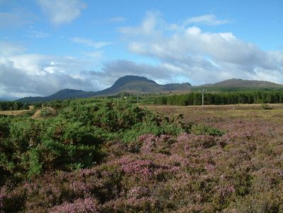
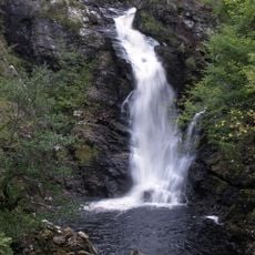
Meall Fuar-mhonaidh is a rounded mountain on the western side of Loch Ness that rises to about 700 meters. The terrain around the summit is bare and exposed, offering wide views across the surrounding landscape with minimal tree cover.
The name comes from Scottish Gaelic and translates to 'cold round hill', reflecting the mountain's shape and harsh climate. This naming tradition shows how Highland communities described and understood their landscape through language.
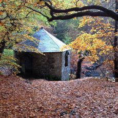
Local residents maintain traditional hiking paths that connect surrounding communities, preserving access to this natural landmark for generations of mountaineers.
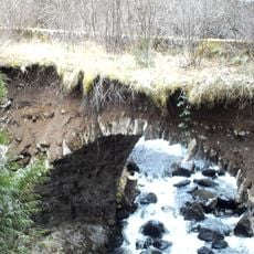
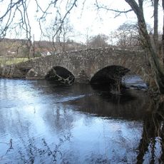
The ascent starts from Grotaig car park on a straightforward walking route suitable for most hikers. The open terrain offers little shelter from weather, so it is important to prepare for changeable conditions and bring appropriate gear.
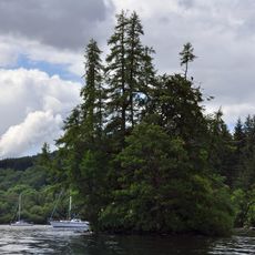
On clear days, the summit offers views of nearly the entire length of Loch Ness and the distant peak of Ben Nevis in the distance. These broad views make it an exceptional vantage point for seeing across much of the northern Highlands.
Location: Highland
Location: Urquhart and Glenmoriston
Elevation above the sea: 699 m
GPS coordinates: 57.26441,-4.56004
Latest update: December 14, 2025 11:23
Boleskine House
5.1 kmDunmaglass, Scotland
13.6 km
Falls of Divach
6.4 km
Immaculate Conception Parish Church, Stratherrick
6.4 km
Corrimony Falls
10.9 km
Corrimony cairn
10.9 km
Whitebridge, Old Bridge
7.5 km
Knockie Lodge Hotel
9 km
Drumnadrochit, Kilmore Parish Church Of Scotland
8.9 km
Drumnadrochit, Benleva Hotel
9.2 km
Drumnadrochit, Drumnadrochit Hotel
9.5 km
Invermoriston Old Bridge
6.8 km
Inverfarigaig Bridge
6.7 km
Urquhart Castle earlier fort
9.7 km
Cherry Island, crannog, Inchnacardoch Bay, Loch Ness
13.9 km
Drumnadrochit, Greenlea
9.4 km
Invermoriston House, Gazebo
6.8 km
Invermoriston New Bridge
6.8 km
Memorial to John Cobb
7.6 km
Urquhart Castle bridge
9.7 km
Drumnadrochit, Glenurquhart Secondary School
9.1 km
Lochletter Bridge
8.1 km
Drumnadrochit, Dhivach Lodge
6.3 km
Drumnadrochit, Glenurquhart Secondary School, West Schoolhouse
9.1 km
Drumnadrochit, Glenurquhart Secondary School, East Schoolhouse
9.1 km
Drumnadrochit, Drumnadrochit Bridge, War Memorial
9.4 km
Boleskine, Old Boleskine Church, Watch House
5 km
Loch Mhòr
8.8 kmVisited this place? Tap the stars to rate it and share your experience / photos with the community! Try now! You can cancel it anytime.
Discover hidden gems everywhere you go!
From secret cafés to breathtaking viewpoints, skip the crowded tourist spots and find places that match your style. Our app makes it easy with voice search, smart filtering, route optimization, and insider tips from travelers worldwide. Download now for the complete mobile experience.
A unique approach to discovering new places❞
— Le Figaro
All the places worth exploring❞
— France Info
A tailor-made excursion in just a few clicks❞
— 20 Minutes