Lydiard Park, Country park and Grade II listed garden in West Swindon, England
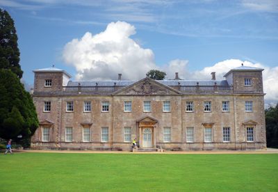
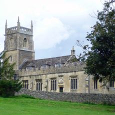
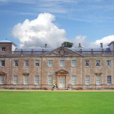
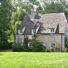
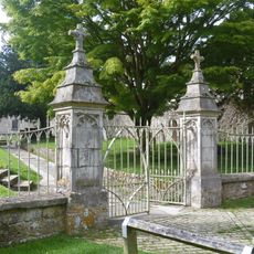
Lydiard Park is a 260-acre country park in West Swindon featuring formal gardens, woodlands, and open spaces surrounding an 18th-century Palladian mansion. The entire site holds Grade II listed status and displays multiple periods of garden design.
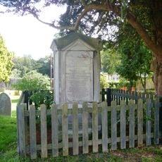
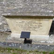
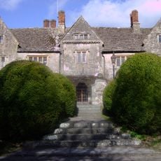
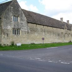
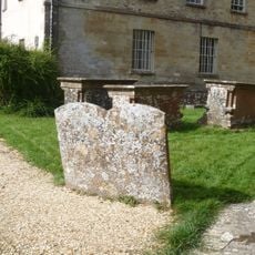
The St John family owned the estate from 1420 until World War II, when it served as a military hospital for American and German forces. This period left its mark on the buildings and the park's subsequent development.
The grounds show different landscaping styles across centuries, from formal Renaissance designs to the naturalistic English Landscape Garden style of the 1700s. You can observe these shifts as you walk through different sections of the property.
The grounds offer several facilities including a café, restrooms, children's play areas, and extensive walking paths through landscaped sections. Multiple entrances make the site accessible, and it works well for a day visit with family or friends.
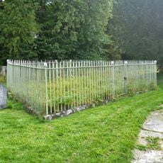
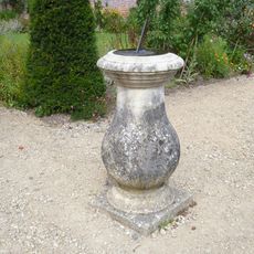
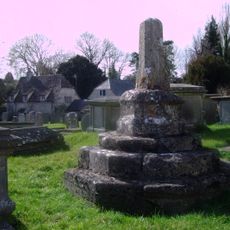
The site contains an 18th-century ice house and a walled garden featuring a bronze sundial from the original formal garden design. These smaller structures offer glimpses into historical garden practices.
Location: West Swindon
Website: https://lydiardpark.org.uk
GPS coordinates: 51.56137,-1.85161
Latest update: December 8, 2025 19:43
The Spectrum Building
2 km
Link Centre
1.6 km
St Mary's Church, Purton
2.5 km
Church of All Saints, Lydiard Millicent
1.6 km
Railed Enclosure Within Churchyard Church Of St Mary
66 m
Church of St Mary, Lydiard Tregoze
39 m
Prower Monument In Churchyard , 45 Metres South East Of South East Corner Of South Chapel, Church Of St Mary
2.5 km
Maskeylne Monument In Churchyard Against South Trancept Wall, Church Of St Mary
2.5 km
3, Church End
2.5 km
Purton House
2.5 km
Lydiard Tregoze Parish War Memorial
2.6 km
Group Of 16 Plummer And Large Monuments 12 Metres South West Of South Porch, Church Of St Mary
2.5 km
Lydiard House
5 m
Milestone At Ngr Su 080831, Opposite Noremarsh Road
2.8 km
Manor House
2.6 km
Tithe Barn At Manor House
2.6 km
Miletone On Corner Of Mud Lane
3.1 km
The Butt Hay
2.5 km
Lower Hook Farmhouse
1.8 km
Milestone Near Spittleborough Farm, At Ngr Su 095828
2.1 km
Group Of 9 Chest Tombs In Churchyard 3 Metres East Of Chancel East Wall Church Of St Mary
52 m
Sundial, On Terrace South Of South Corner Of Lydiard Park Mansion
21 m
Group Of 3 Chest Tombs In Churchyard 6 Metres South West Of West Door Of Tower Church Of St Mary
39 m
Granary, East Of College Farmhouse And Against Road
3.1 km
Milestone Opposite Number 15 High Street
3.1 km
Railings And Piers To Churchyard Church Of St Mary
79 m
Group Of 3 Chest Tombs Including Jacob Hayward In Churchyard 6 Metres South West Of South Porch Door Church Of St Mary
30 m
Medieval cross in St Mary's churchyard
2.5 kmVisited this place? Tap the stars to rate it and share your experience / photos with the community! Try now! You can cancel it anytime.
Discover hidden gems everywhere you go!
From secret cafés to breathtaking viewpoints, skip the crowded tourist spots and find places that match your style. Our app makes it easy with voice search, smart filtering, route optimization, and insider tips from travelers worldwide. Download now for the complete mobile experience.
A unique approach to discovering new places❞
— Le Figaro
All the places worth exploring❞
— France Info
A tailor-made excursion in just a few clicks❞
— 20 Minutes