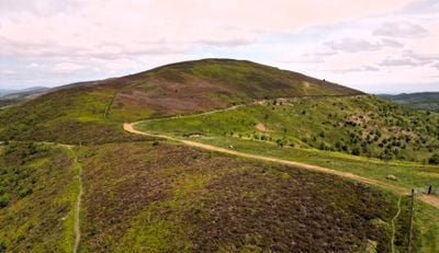
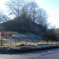
Moel Gyw, Summit in Clwydian Range, United Kingdom
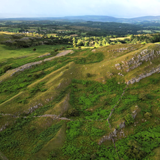
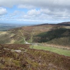
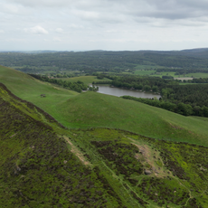
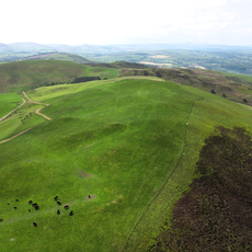
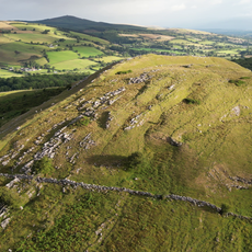
Moel Gyw is a summit in the Clwydian Range that rises to 467 meters above sea level with a small cairn positioned northeast of the triangulation point at its top. The landscape around it consists of rolling terrain with open moorland and views across multiple ridges and valleys.
The peak forms part of the ancient Clwydian Range, which has long served as a natural boundary between different Welsh territories across many centuries. This geographic position shaped how people settled and moved through the landscape over time.
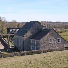
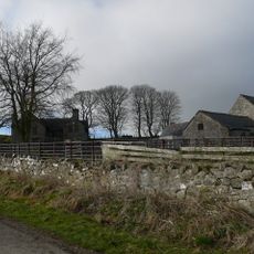
People in the area have walked these paths for generations to move sheep between pastures and to connect their villages together. The routes remain active today and show how communities have organized their lives around these hilltop connections.
The open moorland requires proper hiking gear and weather protection, as conditions can change rapidly and exposure is significant. Wear sturdy footwear and be prepared for wet or windy conditions, especially during damper seasons.
Access to the summit comes through sections of the Offa's Dyke National Trail, a major walking route that follows an ancient boundary line between England and Wales. This means visitors walk along a path with deep historical roots in the landscape.
The community of curious travelers
AroundUs brings together thousands of curated places, local tips, and hidden gems, enriched daily by 60,000 contributors worldwide.