
Molescroft, human settlement in United Kingdom
Location: East Riding of Yorkshire
GPS coordinates: 53.85307,-0.45176
Latest update: April 24, 2025 05:53
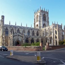
St Mary's Church, Beverley
1.5 km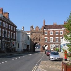
Beverley Bar
1.4 km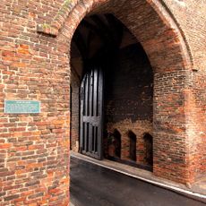
Beverley town walls
1.4 km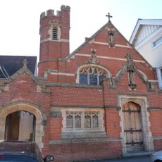
Roman Catholic Church of St John of Beverley
1.3 km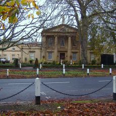
The Sessions House
922 m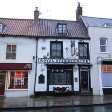
Royal Standard Inn
1.4 km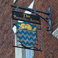
The Beverley Arms Hotel
1.5 km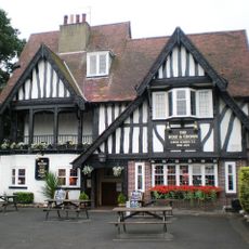
The Rose And Crown Public House
1.3 km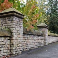
Wall To Nos 5 To 13 (Odd)
871 m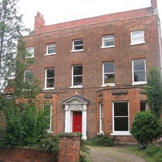
56, North Bar Without
1.2 km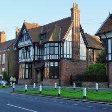
Oak House
1.2 km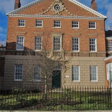
Norwood House (now Beverley High School For Girls)
1.6 km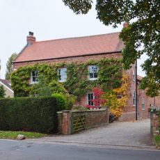
Manor Farmhouse
112 m
65-69, Molescroft Road
93 m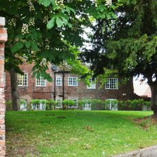
28, North Bar Within
1.4 km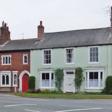
71, Molescroft Road
79 m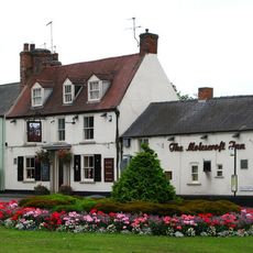
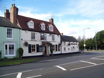
The Molescroft
61 m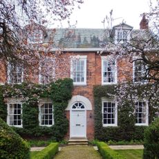
Ash Close
1.1 km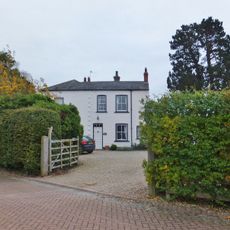
Elm Tree Farm
265 m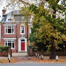
20, New Walk
971 m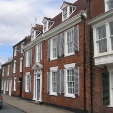
48, North Bar Without
1.2 km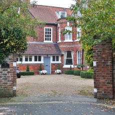
The Old Hall (Formerly St Mary's Vicarage)
1.5 km
Garden Wall And Three Sets Of Gatepiers To Nos 2 To 6 (Even)
1.1 km
7, Hengate
1.6 km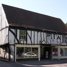
St Marys Court
1.4 km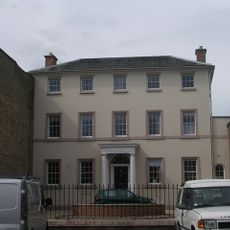
29, North Bar Without
1.2 km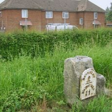
Milestone, N of Dog Kennel Lane jct.
2.1 km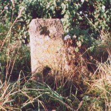
Milestone, Grange Road TI, Driffield Exit
416 mVisited this place? Tap the stars to rate it and share your experience / photos with the community! Try now! You can cancel it anytime.
Discover hidden gems everywhere you go!
From secret cafés to breathtaking viewpoints, skip the crowded tourist spots and find places that match your style. Our app makes it easy with voice search, smart filtering, route optimization, and insider tips from travelers worldwide. Download now for the complete mobile experience.

A unique approach to discovering new places❞
— Le Figaro
All the places worth exploring❞
— France Info
A tailor-made excursion in just a few clicks❞
— 20 Minutes