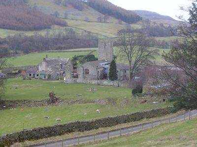
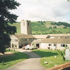
Marrick Priory, Benedictine nunnery in Swaledale, United Kingdom
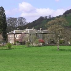
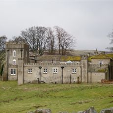
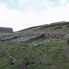
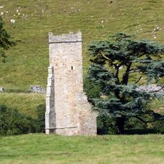
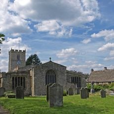
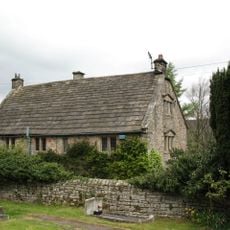
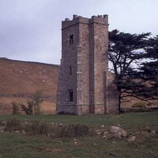
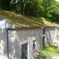
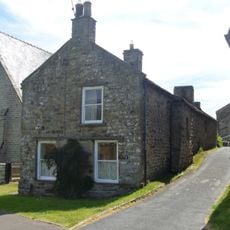
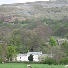
Marrick Priory is a Benedictine nunnery in Swaledale, now visible as a stone structure with preserved medieval architectural features and fortified walls. Located within the Yorkshire Dales National Park, the site contains several buildings that reflect its original religious function.
The priory was founded between 1140 and 1160 by Roger de Aske and served as a religious institution until 1539. Its closure came during the Dissolution of the Monasteries, when the community was forced to abandon the site.
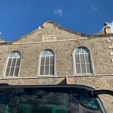
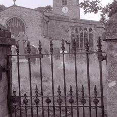
The former church displays elements from different building periods, including Norman arches and Gothic windows, showing how architectural styles changed over the centuries. These varied features tell the story of evolving construction methods and tastes throughout the priory's lifetime.
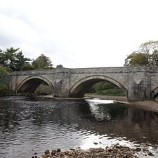
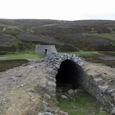
The site is best reached on foot and suits visitors who want to explore the park's surroundings while walking. The grounds and surrounding landscape are accessible year-round and require only appropriate footwear and weather protection.
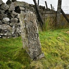
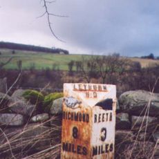
A footpath called Nuns' Steps connects the priory through Steps Wood to Marrick village and traces an ancient route used by the religious community. This path lets visitors today walk the historical connection between the priory and the settlement.
The community of curious travelers
AroundUs brings together thousands of curated places, local tips, and hidden gems, enriched daily by 60,000 contributors worldwide.