Midger, Protected woodland reserve in Gloucestershire, England.
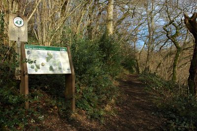
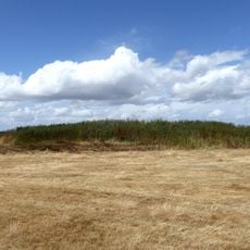
Midger is a woodland site of special scientific interest in Gloucestershire with dense forest sections containing ash trees, pedunculate oak, and field maple covering around 56 hectares. The reserve includes multiple woods such as Midger Wood and Whitewell Wood, each with distinct woodland characteristics.
The Gloucestershire Wildlife Trust acquired this reserve in 1965 following significant oak tree loss during the 1950s under previous ownership. This purchase marked the beginning of active conservation efforts to protect and restore the woodland.
Prince Charles visited the Midger SSSI reserve in March 1995, observing demonstrations of traditional charcoal production methods using coppiced and fallen timber.
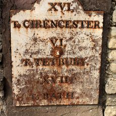
The reserve is located approximately 7 miles (11 kilometers) south of Nailsworth and can be reached by turning at the Hillesley signpost where parking is available in a former quarry. The site offers straightforward walking access through the woodland with marked routes for visitors.
The stream running through the site features small waterfalls decorated with calcareous tufa deposits, a geological formation that appears rarely in English woodlands. This distinctive water feature supports specialized plant growth that would not survive in typical forest soils.
The community of curious travelers
AroundUs brings together thousands of curated places, local tips, and hidden gems, enriched daily by 60,000 contributors worldwide.