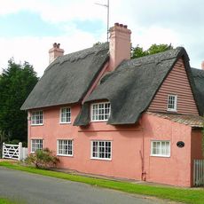
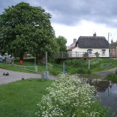
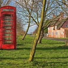
Monks Wood, National Nature Reserve woodland in Sawtry, England
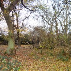
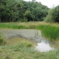
Monks Wood is a protected woodland in Sawtry featuring wet ash-maple forests, woodland rides, ponds, streams, and herb-rich grassland habitats. These diverse landscapes create a complex network of environments across the nature reserve.
The site functioned as a biological research station under The Nature Conservancy from 1961 to 2009, focusing on long-term woodland studies. Scientists conducted detailed research on marsh tit populations and other forest species during this period.
The reserve maintains educational programs that teach visitors about woodland conservation, native species protection, and environmental preservation techniques.
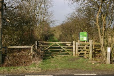
The woodland is accessible from the southern boundary road with marked trails guiding visitors through different sections. Information boards and viewing areas help you understand the reserve's ecology and wildlife as you explore.
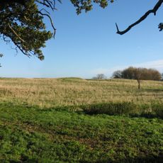
A field next to the former research station has been undergoing natural regeneration since 1961, serving as a long-term experiment in woodland rewilding. This extended study reveals how the landscape transforms when left to recover on its own.
The community of curious travelers
AroundUs brings together thousands of curated places, local tips, and hidden gems, enriched daily by 60,000 contributors worldwide.