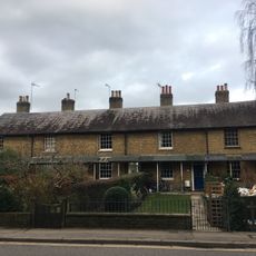
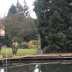
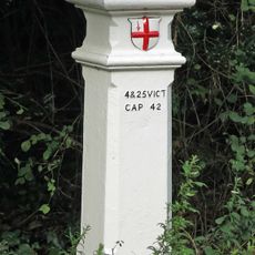
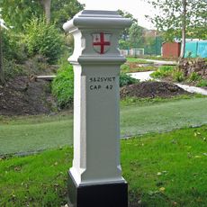
Moor Park, Grade II* listed park and gardens in Batchworth, England.
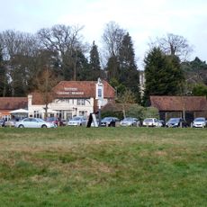
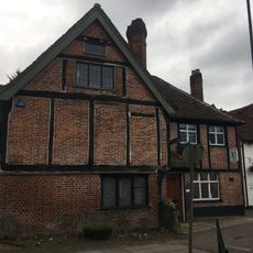
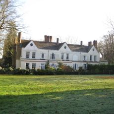
Moor Park is a Grade I listed country mansion surrounded by formal gardens and parkland, now operating within an active golf club setting. The estate includes outbuildings such as an orangery and stable block arranged across carefully designed grounds.
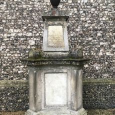
The estate developed over centuries as successive owners added their own architectural and garden design preferences to the property. Significant structures like the orangery and stables originated in the 18th century and remain central features of the landscape.
The property functions as both a protected historical monument and an active golf club, showing how heritage and modern leisure can coexist on the same grounds. Visitors today see the landscape split between preserved buildings and recreational spaces used for play.
The grounds are accessible during set opening hours, with guided tours helping visitors explore the architecture and gardens. It is advisable to check visiting times in advance since its active use as a golf club may restrict access to certain areas.
The estate preserves a collection of 18th-century architectural components, including a freestanding orangery with period-specific decorative details. These secondary buildings showcase the craftsmanship and materials typical of country estates from that era.
Location: Batchworth
GPS coordinates: 51.62830,-0.44800
Latest update: December 7, 2025 20:46
The Withey Beds
749 m
Batchworth Heath
749 m
Church of St Mary, Rickmansworth
1.7 km
War Memorial About 40 Metres East of Church of St Mary
1.6 km
Holy Trinity Church
1.7 km
K6 Telephone Kiosk Outside St Mary's Church
1.6 km
25 and 27, Church Street
1.8 km
Mount Vernon Hospital Chapel
1.6 km
99, Church Street
1.5 km
29 and 31, Church Street
1.8 km
53-61, Church Street
1.7 km
Wilson Monument Immediately North Of Chancel Of Church Of St Mary
1.7 km
The Feathers Public House
1.7 km
Ye Old Greene Manne Public House
810 m
Mount Vernon Hospital
1.5 km
The Gate Public House
1.6 km
Rose And Crown Public House
1.7 km
The Chequers Restaurant
1.8 km
Obelisk On South Bank In Garden Of Number 17 Moor Lane
1.3 km
The Priory
1.7 km
Pair Of Chest Tombs With Fluted Corner Piers About 10 Metres North Of Church Of St Mary
1.7 km
Milestone About 35 Metres West Of Number 1 Home Farm Road (Not Listed)
661 m
London Coal Duty Marker On County Boundary
1 km
The Bury
1.7 km
21 And 25, Harefield Road
1.5 km
17, Moor Lane
1.3 km
London Coal Duty Marker On County Boundary About 140 Metres South Of Road
1.7 km
London Coal and Wine Duty boundary post
1.3 kmReviews
Visited this place? Tap the stars to rate it and share your experience / photos with the community! Try now! You can cancel it anytime.
Discover hidden gems everywhere you go!
From secret cafés to breathtaking viewpoints, skip the crowded tourist spots and find places that match your style. Our app makes it easy with voice search, smart filtering, route optimization, and insider tips from travelers worldwide. Download now for the complete mobile experience.
A unique approach to discovering new places❞
— Le Figaro
All the places worth exploring❞
— France Info
A tailor-made excursion in just a few clicks❞
— 20 Minutes