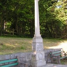
Muncaster Fell, Mountain summit in Cumbria, United Kingdom
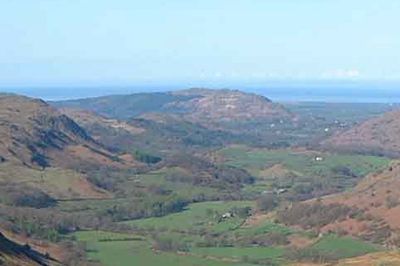
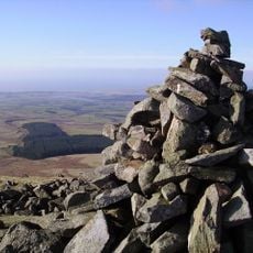
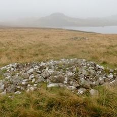
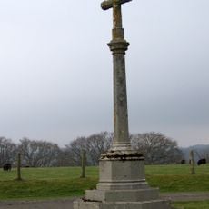
Muncaster Fell is a mountain summit in Cumbria with a narrow ridge running around 6 kilometers and steep slopes dividing the valleys of Miterdale and Eskdale. The summit reaches 231 meters elevation and features typical fell landscape with open moorland and rough terrain.
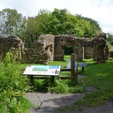
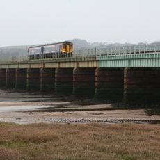
During Roman occupation of Britain, a road section connected the fort of Glannaventa near Ravenglass to Hardknott Fort crossing through this area. This route shaped travel and supply connections across the region for centuries.
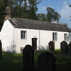
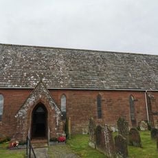
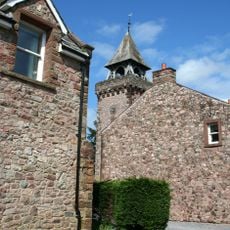
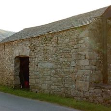
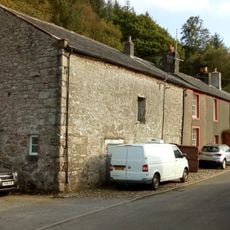
The fell is part of Lake District National Park and shaped by traditional land management practices passed down through generations of local farming families. These everyday practices continue to define how the landscape looks and functions today.
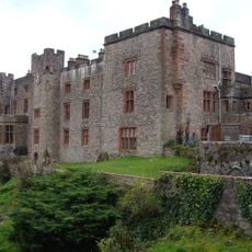
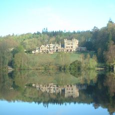
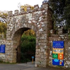
Several marked trails lead to the summit with parking near Muncaster Castle providing access to the area. Bring sturdy boots and weatherproof clothing as muddy and boggy sections require proper footwear and preparation.
Beneath Hooker Crag sits Muncaster Tarn, a small lake tucked within woodlands with uncommon plant species. Many walkers overlook this hidden spot even though it holds its own small ecosystem with heather and berry-producing shrubs.
The community of curious travelers
AroundUs brings together thousands of curated places, local tips, and hidden gems, enriched daily by 60,000 contributors worldwide.