Chest opened
+${chestReward.xp} XP
Explorer
NOUVEAU ×${chestReward.collectible.quantity}
tapez pour fermer
Chest locked

Open chests in the app

Around Us is built for your phone — chests unlock when you walk, explore and capture nearby places.

Enable Location

We need your location to show you interesting places around you

Discover nearby places

Find interesting locations and hidden gems around you

Precise directions

Get accurate directions and distances to places

Your location is never shared with other users. It's only used when you tap the location button.

Log in to your account

Start exploring — it's free

Trusted by 73,104 travelers worldwide

Continue with Google
Continue with Apple
or

We will send you a code to connect

By continuing, you accept our Terms and Conditions and our Privacy Policy

Check your inbox

We've sent a pincode in your inbox. Please enter the code below.

Municipal Borough of Pudsey
Discussion Reviews Photo
1.4k Popularity

Municipal Borough of Pudsey, Administrative district in West Yorkshire, England.

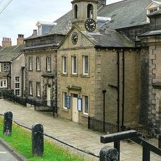
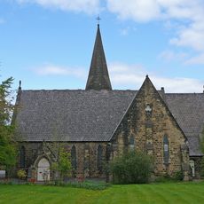
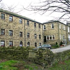
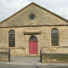
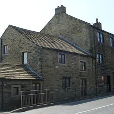
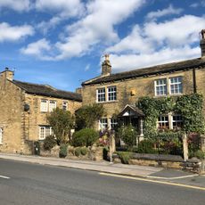
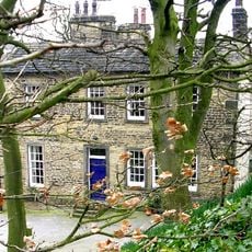
The Municipal Borough of Pudsey was an administrative unit between Leeds and Bradford covering approximately 6200 hectares of mixed urban and semi-rural land. It included several districts such as Farsley, Calverley, and parts of Stanningley, each with its own character and development pattern.

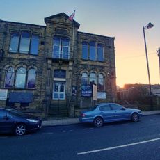
The area began as a local board in 1872 and was upgraded to urban district status in 1894. It gained borough status in 1900 and eventually merged with Leeds in 1974 as local government boundaries changed.

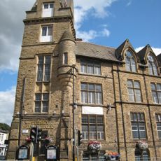
The district was a center of textile manufacturing, where looms and wool production shaped daily life and work routines. This industrial identity became woven into how residents understood their community and their place within it.

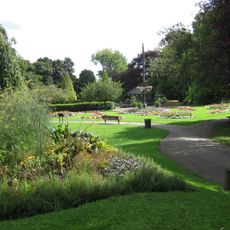
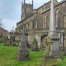
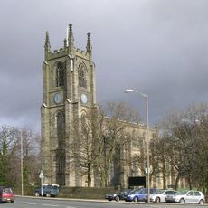
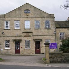
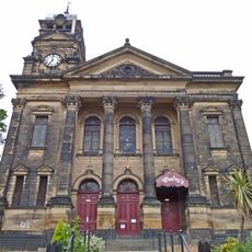
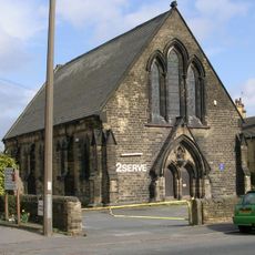
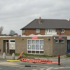
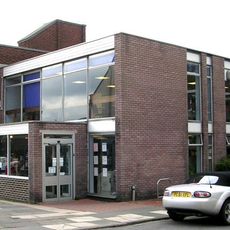
The various districts were historically connected through local administrative structures that managed community affairs and local needs. Visitors can observe the different development patterns and characteristics that distinguish each area from the others.

The coat of arms featured looms and a woolpack as symbols of the local textile trade that shaped the region's economy for generations. These emblems served as a visual reminder of the craft and industry that defined the area's identity.

The community of curious travelers

AroundUs brings together thousands of curated places, local tips, and hidden gems, enriched daily by 60,000 contributors worldwide.

Start exploring
GPS coordinates
53.79611,-1.67306
Latest update
March 6, 2026 16:53
Reviews
Share your experience

No review yet

Discussions
Start a discussion...

No discussion yet

« Municipal Borough of Pudsey - Administrative district in West Yorkshire, England » is provided by Around Us (aroundus.com). Images and texts are derived from Wikimedia project under a Creative Commons license. You are allowed to copy, distribute, and modify copies of this page, under the conditions set by the license, as long as this note is clearly visible.

Discover hidden gems everywhere you go!

From secret cafés to breathtaking viewpoints, skip the crowded tourist spots and find places that match your style. Our app makes it easy with voice search, smart filtering, route optimization, and insider tips from travelers worldwide. Download now for the complete mobile experience.

Around Us App Screenshot

A unique approach to discovering new places

Le Figaro

All the places worth exploring

France Info

A tailor-made excursion in just a few clicks

20 Minutes

Around Us
Travel Guide & Maps
Download

Send to your phone

QR Code
1

Open the camera app on your mobile.

2

Point at the QR code with your camera. A notification will appear.

3

Tap the notification to open the link.