Braunton Burrows North Devon Biosphere Reserve, Biosphere reserve in North Devon, England.
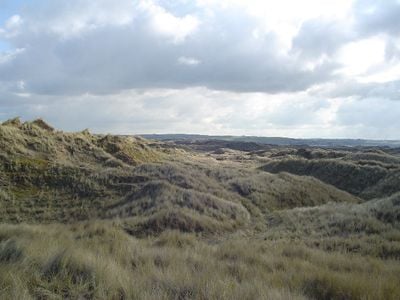
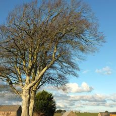
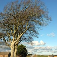
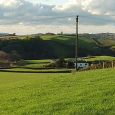
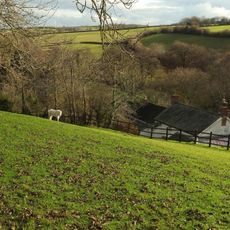
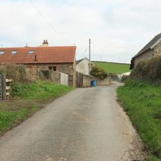
Braunton Burrows North Devon Biosphere Reserve is a protected area in North Devon, England, made up of sand dunes, grasslands, and wetlands along the Bristol Channel. The terrain shifts from open dune fields to denser low vegetation and water channels as you move through it.
During World War II, the area was used for military amphibious training exercises, which left lasting marks on the terrain. That military use continued after the war and gradually shaped the landscape into what visitors see today.
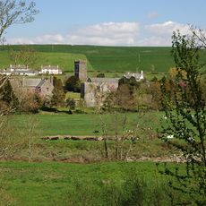
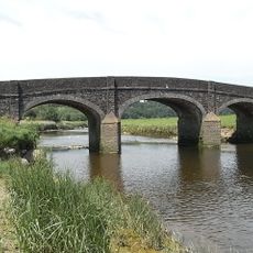
Along the Taw Torridge Estuary, local fishermen still use traditional methods to catch Atlantic salmon, sea trout, and sea bass. This connection to the tides shapes the daily rhythm of the communities living along the water.
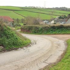
The reserve is best explored on foot along marked trails that cross dunes, grasslands, and wetland areas. The ground can vary a lot depending on the season, so sturdy footwear is a good idea before heading out.
The sand dunes disturbed by military training now shelter rare plants such as Sand Toadflax, Water Germander, and Sea Stock that rarely grow elsewhere in Britain. This makes the reserve a destination for botanists looking for species found almost nowhere else in the country.
The community of curious travelers
AroundUs brings together thousands of curated places, local tips, and hidden gems, enriched daily by 60,000 contributors worldwide.