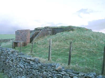
Mynydd Drumau, Summit in Neath Port Talbot County Borough, Wales.
Mynydd Drumau is a summit in Neath Port Talbot that rises to approximately 270 meters and offers views across the valleys and hills of South Wales. The mountain is accessible through established pathways that connect it to the surrounding villages of Skewen, Birchgrove, Bryncoch, Rhos, and Glais.
The mountain earned its classification as a Marilyn and Tump based on its prominence of approximately 170 meters, making it a notable landmark in Welsh geography. This classification reflects its importance within systems that rank and identify significant peaks.
The Welsh name Mynydd Drumau means Mountain of the Ridges, reflecting how local communities named places based on what they saw in the landscape. This connection between language and terrain remains visible in how people today refer to the area.
The best time to visit is during dry weather, as the paths can become slippery when wet. Wear appropriate footwear and be prepared for changeable conditions, since the summit is exposed to the elements.
The mountain forms part of a network of peaks including Neath Abbey Craig and Pen Alltwen, creating a distinctive geological formation in the region. This clustering makes the area interesting for exploring related landscapes within easy reach.
The community of curious travelers
AroundUs brings together thousands of curated places, local tips, and hidden gems, enriched daily by 60,000 contributors worldwide.