
Ogmore Valley, community in Bridgend County Borough, Wales, UK
Location: Bridgend County Borough
GPS coordinates: 51.60192,-3.51767
Latest update: April 5, 2025 11:30
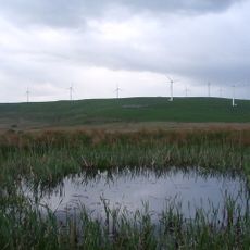
Mynydd Maendy
4.8 km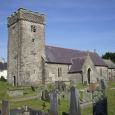
St Tyfodwg's Church
3.2 km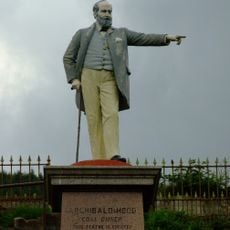
Statue of Sir Archibald Hood
5.1 km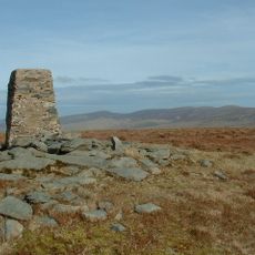
Cwm Llwyd
5.1 km
Former Co-operative Wholesale Society Building
1.7 km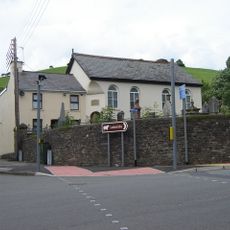
Paran Welsh Baptist Chapel
3.9 km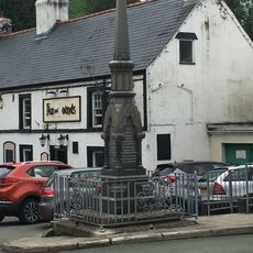
Blackmill War Memorial
4 km
Fox and Hounds PH
4 km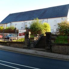
Tonypandy Library
4.9 km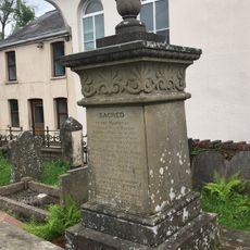
Jenkins monument in the graveyard, Paran Chapel
3.9 km
The Phoenix
5.5 km
Moriah Welsh Baptist Chapel
5 km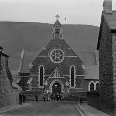
St Andrew's Church
5 km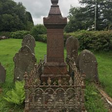
Edwards monument in the graveyard of Paran Chapel
3.9 km
Former Engine House at Llwynypia Colliery Site
5.3 km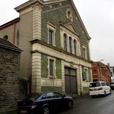
Bethania Calvinistic Methodist Chapel
4.9 km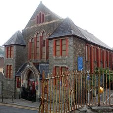
Trinity English Calvinistic Methodist Chapel
5 km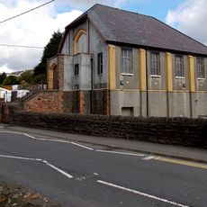
Bethel Methodist Chapel
3.9 km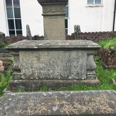
Evans chest tomb in graveyard of Paran Chapel
3.9 km
Seion Welsh Calvinistic Methodist Chapel
5.2 km
War Memorial
5.3 km
Bethany Calvinistic Methodist Chapel
5.2 km
Forecourt and terrace walls with lamp standard, railings and gates at Ebenezer Chapel
5 km
Ysgoldy Ebenezer Attached To Left Of Ebenezer Welsh Independent Chapel
4.9 km
Ebenezer Welsh Congregational Chapel
4.9 km
Bethesda Welsh Independent Chapel
5.5 km
Ystrad English Independent Chapel
5.5 km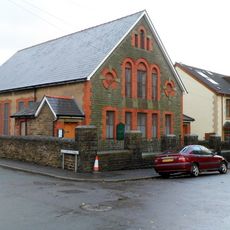
Hope English Baptist Chapel
5.3 kmVisited this place? Tap the stars to rate it and share your experience / photos with the community! Try now! You can cancel it anytime.
Discover hidden gems everywhere you go!
From secret cafés to breathtaking viewpoints, skip the crowded tourist spots and find places that match your style. Our app makes it easy with voice search, smart filtering, route optimization, and insider tips from travelers worldwide. Download now for the complete mobile experience.

A unique approach to discovering new places❞
— Le Figaro
All the places worth exploring❞
— France Info
A tailor-made excursion in just a few clicks❞
— 20 Minutes