Ossulstone, Administrative hundred in Middlesex, England
Ossulstone was an administrative division in Middlesex that extended north of the Thames and covered more than 50,000 acres. It encompassed 24 recorded settlements ranging from central areas to outer reaches of present-day London.
The territory was named after a pre-Roman stone monument at Tyburn and first appeared in the 1086 Domesday Book. It represented an early and lasting way to organize the rural landscape of Middlesex that lasted for centuries.
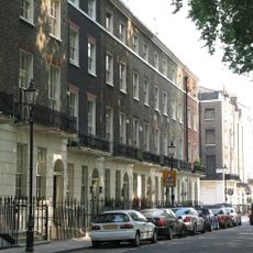
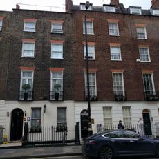
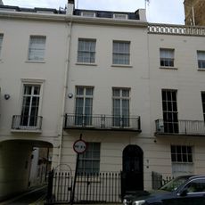
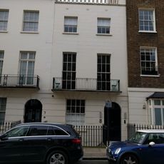
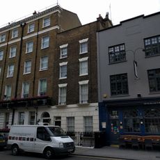
The region once included villages like Kensington, Holborn, and Finsbury that transformed from rural settlements into urban neighborhoods. These places formed a single administrative unit whose names and divisions still appear in London's geography today.
Information about this territory can be found in published historical records and local archives. Visitors interested in this administrative history can explore the former settlements that once formed part of it throughout modern London.
The original stone that gave the territory its name stood at the junction of Watling Street and Oxford Street but disappeared in 1869 after being moved. Once relocated near Marble Arch, it vanished from public record, yet the site where it once marked the division remains in the heart of London.
The community of curious travelers
AroundUs brings together thousands of curated places, local tips, and hidden gems, enriched daily by 60,000 contributors worldwide.