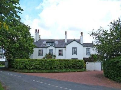
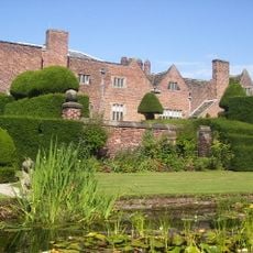
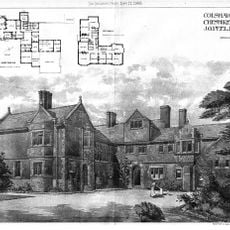
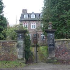
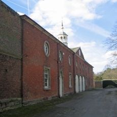
Ollerton Hall, Grade II listed country house in Ollerton, England
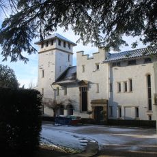
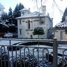
Ollerton Hall is a brick-built country house arranged in an E-shaped plan with two storeys and five bays across its facade. A central projecting section with a gable marks the main entrance, creating a symmetrical and ordered appearance typical of early 18th-century design.
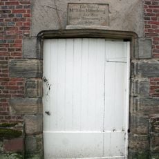
The house was built around 1700 for the De Baguley family and received a plaque in 1728 bearing the initials THP, possibly for Thomas Henry Potts. This early marker suggests a change in ownership or an important alteration to the property.
The Markham family maintained their Catholic faith in a Protestant nation and concealed a chapel in the attic, reflecting the religious tensions of the period. This hidden space reveals how families practiced their beliefs privately when public worship was restricted.
The building is currently empty and undergoing renovation work approved by the local council. Plans include converting it into residential apartments while maintaining its historic structure and character.
The National Coal Board repurposed the mansion as housing for workers from nearby coal mines during the 20th century, showing how its function shifted dramatically from its aristocratic origins. This transformation from a genteel residence to workers' accommodation reveals the economic changes that reshaped rural England.
The community of curious travelers
AroundUs brings together thousands of curated places, local tips, and hidden gems, enriched daily by 60,000 contributors worldwide.