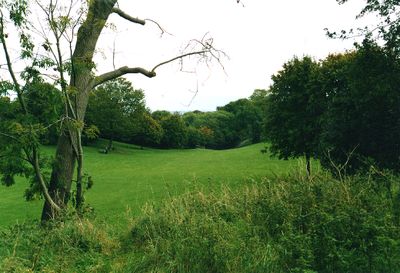
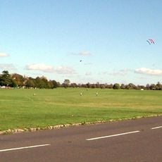
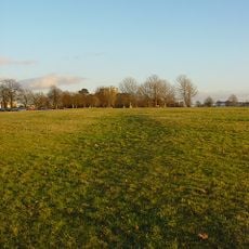
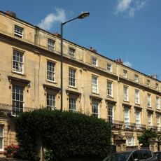
Redland Green, Public park in Redland, United Kingdom
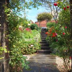
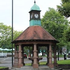
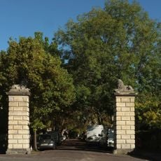
Redland Green is a public park with open grass areas and wooded sections that serve as natural habitats for local wildlife. It features a children's play area with climbing equipment and swings, plus tennis courts and a bowling club for adults.
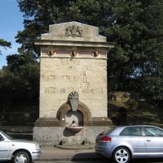
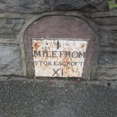
The land once belonged to the manor of Redland, with its name derived from Latin and Norman origins referencing the red soil of the area. The names Rubea Terra and la Rede Londe were used to describe this characteristic earth color.
The Redland May Fair takes place every year on the first Monday of May, drawing street performers and local residents who celebrate this tradition together. The event shapes community life in the area and shows how important this space is to neighbors.
The park is laid out in different zones that are easy to navigate, each offering different activities so visitors can plan their time flexibly. With play areas for children, sports facilities, and open spaces, there is something here for different age groups.
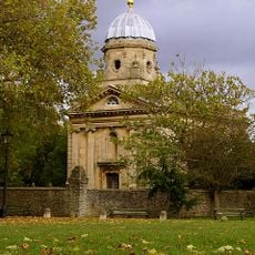
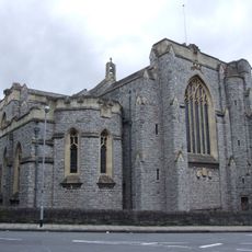
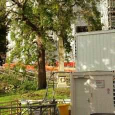
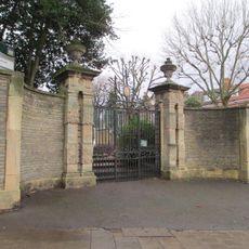
This site was once home to a Bishop's palace that was destroyed during World War II bombing raids. Today the vanished building exists only in historical records and the memory of the area.
Location: City of Bristol
GPS coordinates: 51.47490,-2.60817
Latest update: December 14, 2025 14:23
Clifton Down
962 m
Redland Chapel
325 m
Tyndale Baptist Church
1.1 km
Quarry Steps, Durdham Down
800 m
Church of St Alban
213 m
The Blackboy Inn
754 m
Public Urinal
673 m
The Reverend Urijah Rees Thomas Memorial Drinking Fountain
688 m
St John's Place
857 m
Whiteladies Road War Memorial
831 m
John Bryant And Emily Clifford Memorial Drinking Fountain
336 m
Numbers 3, 4 And 5 And Attached Front Area Railings
706 m
Footbridge At Redland Station
958 m
Numbers 11 To 31 (Odd) And Attached Front Garden Walls And Piers
707 m
St John's Parochial School And Attached Walls And Railings
680 m
163-169, Whiteladies Road
780 m
106, Whiteladies Road
880 m
Numbers 3 To 9 (Odd) And Attached Front Garden Walls And Piers
746 m
Part of a Roman road on Durdham Down 865m north east of Black Rocks
1.1 km
Obelisk To The Rear Of Queen Victoria House
599 m
157, Redland Road
285 m
Gate Piers Flanking Entrance To Cambridge Park
310 m
Drinking Fountain At St 5712 7495
807 m
39-53, Apsley Road
971 m
Piers And Gates To Main Entrance To Redland Court
721 m
Milestone, Whiteladies Road, jct Redland Park
842 m
Milestone, Westbury Road, S of Henleaze Road, on Common
960 m
Milestone, Redland Road
350 mVisited this place? Tap the stars to rate it and share your experience / photos with the community! Try now! You can cancel it anytime.
Discover hidden gems everywhere you go!
From secret cafés to breathtaking viewpoints, skip the crowded tourist spots and find places that match your style. Our app makes it easy with voice search, smart filtering, route optimization, and insider tips from travelers worldwide. Download now for the complete mobile experience.
A unique approach to discovering new places❞
— Le Figaro
All the places worth exploring❞
— France Info
A tailor-made excursion in just a few clicks❞
— 20 Minutes