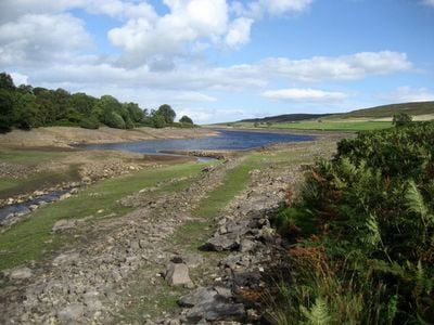
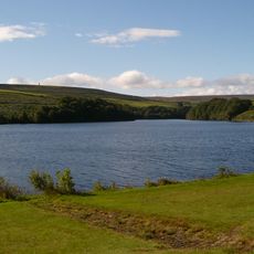
Roundhill Reservoir, reservoir in North Yorkshire, England, UK
Roundhill Reservoir is a large body of water situated in quiet countryside near Ilton, surrounded by fields, pastures, and scattered trees. The water surface reflects the sky and landscape, while the shoreline remains undeveloped with open grassland and simple paths for walking.
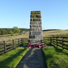
The reservoir was constructed many years ago to supply water for local farms and villages in the region. It represents a significant moment in the area's development of water management infrastructure for agricultural purposes.
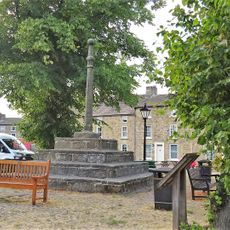
The reservoir serves as a gathering point for locals who come to walk and observe wildlife in their natural setting. The surrounding farmland and open countryside reflect how people in this region live close to nature and depend on traditional land management practices.
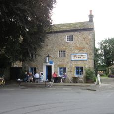
Visitors should stay on marked paths and avoid disturbing the wildlife in the area. There are no shops or cafes nearby, so it is best to bring your own food and drinks if you plan to spend time walking around the reservoir.
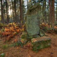
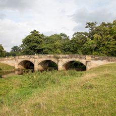
The walking route around the reservoir covers about ten kilometers and follows ancient paths where people have traveled for generations, passing old farm buildings and small bridges. These trails reveal how this countryside has maintained its traditional character while connecting walkers to its deeper rural heritage.
The community of curious travelers
AroundUs brings together thousands of curated places, local tips, and hidden gems, enriched daily by 60,000 contributors worldwide.