Rochdale Canal, Industrial waterway between Manchester and Sowerby Bridge, England
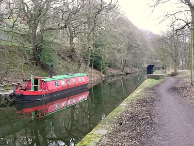
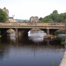
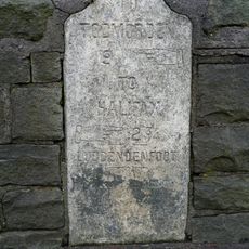
The Rochdale Canal is a waterway that runs about 33 miles from Manchester to Sowerby Bridge in the north. It has 91 locks spaced along the route to help boats rise and fall as the water level changes across the landscape.
The canal was built between 1794 and 1804 as the first shipping route to cross the Pennines mountains. It allowed cotton, wool, coal, and timber to move between Manchester and northern regions, supporting the industries that grew in these areas.
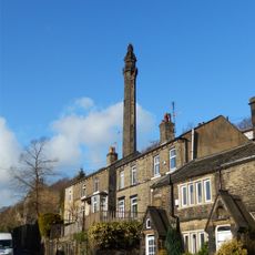
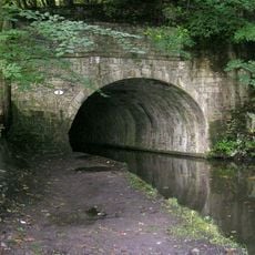
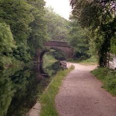
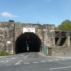
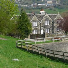
The waterway's banks reveal industrial-era structures, mills, and bridges that shaped the towns along its path. People now use it as a place to walk, cycle, and spend time outdoors, turning a commercial route into a community space.
Boating requires lock experience since navigating through numerous chambers takes concentration and proper technique. Walking and cycling paths run alongside the waterway, with parking and facilities available in the larger towns along the route.
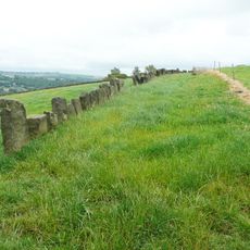
The waterway relies on a system of reservoirs like Blackstone Edge and Hollingworth Lake upstream to store water. Without these storage areas, the numerous locks would not have enough water to function properly throughout the year.
GPS coordinates: 53.70970,-1.90870
Latest update: December 7, 2025 10:08
Wainhouse Tower
1.8 km
Lloyds Bank
242 m
Church of St John the Evangelist
1.3 km
Christ Church
99 m
Church of St George
852 m
Cemetery Chapel
934 m
The Royal Public House
1.5 km
Milepost To West Of Junction With Lane Running Behind Churchyard
815 m
Milestone set against churchyard wall on south west
1.2 km
The Navigation
572 m
Sowerby Long Bridge
820 m
High Royd Bridge Rochdale Canal High Royd Bridge
1.3 km
County Bridge
287 m
South African War Memorial
1.5 km
Sowerby Bridge Library
270 m
Hollas Lane railway bridge
1.6 km
Railway Bridge With Wall To West And Coal Drops To East
237 m
White Windows Cheshire Home
904 m
Vaccary Walling
946 m
Milestone Opposite Number 33
838 m
Binn Royd Cottage/Binn Royd Farmhouse
1.8 km
Milestone, W end of Sowerby Bridge, opp. Stonegarth
1.1 km
Lower Spark House Farmhouse
600 m
Lane Ends
664 m
Upper Wat Ing
1.3 km
Milestone, Skircoat, opp Willow Drive
1.2 km
Milestone, W of Halifax, jct of Gibbet Street, Stocks Lane & Roilshead Road
1.6 km
Milestone, Bolton Brow, Sowerby Bridge
466 mVisited this place? Tap the stars to rate it and share your experience / photos with the community! Try now! You can cancel it anytime.
Discover hidden gems everywhere you go!
From secret cafés to breathtaking viewpoints, skip the crowded tourist spots and find places that match your style. Our app makes it easy with voice search, smart filtering, route optimization, and insider tips from travelers worldwide. Download now for the complete mobile experience.
A unique approach to discovering new places❞
— Le Figaro
All the places worth exploring❞
— France Info
A tailor-made excursion in just a few clicks❞
— 20 Minutes