
Ruan Lanihorne, civil parish and village in south Cornwall, England, United Kingdom
Location: Cornwall
Elevation above the sea: 18.6 m
GPS coordinates: 50.24076,-4.95363
Latest update: March 8, 2025 10:24
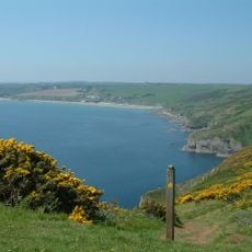
Gerrans Bay to Camels Cove
4.2 km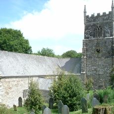
Church of St Symphorian
3.3 km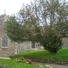
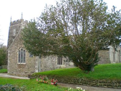
Church of St Rumon, Ruanlanihorne
49 m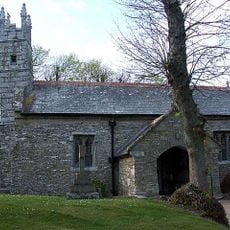
Church of St Cornelly
3.8 km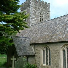
Church of St Felix
3.5 km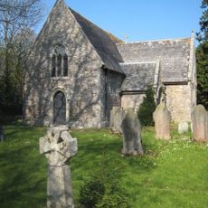
Church of St Moren
1.6 km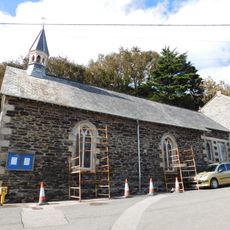
Portloe Church
5 km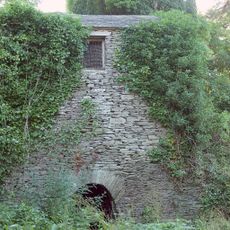
Church of St Moren Belfrey
1.7 km
Philleigh Post Office And Adjoining House
3.6 km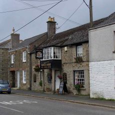
Kings Arms Public House
4.2 km
Proncha And Garden Walls
5 km
Chyrond
3.3 km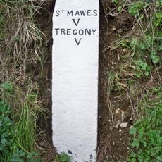
Milestone Circa 200M South-West Of Pendower Lodge
3.9 km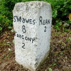
Milestone Approx 382M North-West Of Trelagossick Cottage
2.5 km
Almshouses
4 km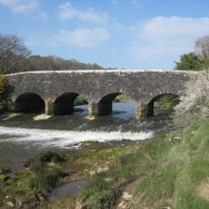
Sett Bridge
750 m
Cliff Villas
5 km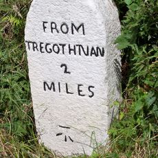
Milestone Circa 85M South-East Of Tresawsan Cottage
3.2 km
Spring Parc
5 km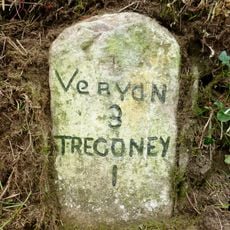
Milestone Approx 20M South-West Of Hay Cottage
2.9 km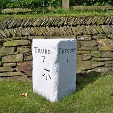
Milestone Approx 36M North Of Cornelly Lodge
3.9 km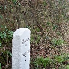
Milestone Approx 142M To The East Of Beruppa Farm
2.1 km
Blue House, 2 Lime Kilns And Cliff Garden
5 km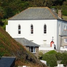
Portloe Methodist Church Including Front Wall And Railings
5.1 km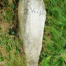
Guidestone, Veryan Green, T jct, against bank
3.6 km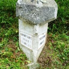
Milestone, Freewater, N of crossroads, on road to Grampound Road
4 km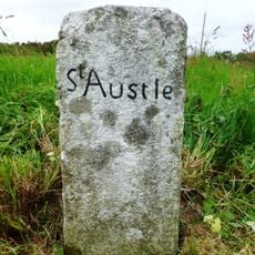
Milestone, Crohans, the angle of the road fork
3.9 km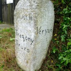
Guidestone, Trethennal, Treviskey turn
4 kmVisited this place? Tap the stars to rate it and share your experience / photos with the community! Try now! You can cancel it anytime.
Discover hidden gems everywhere you go!
From secret cafés to breathtaking viewpoints, skip the crowded tourist spots and find places that match your style. Our app makes it easy with voice search, smart filtering, route optimization, and insider tips from travelers worldwide. Download now for the complete mobile experience.

A unique approach to discovering new places❞
— Le Figaro
All the places worth exploring❞
— France Info
A tailor-made excursion in just a few clicks❞
— 20 Minutes