
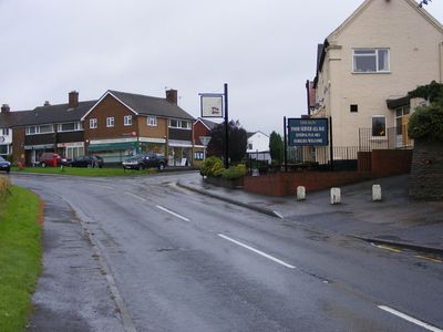
Romsley, village in United Kingdom
Location: Bromsgrove District
GPS coordinates: 52.41349,-2.05288
Latest update: March 23, 2025 06:45
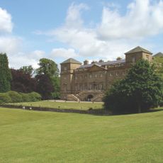
Hagley Hall
4.7 km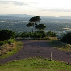
Clent Hills
2.3 km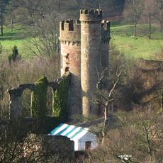
Castle in Hagley Park
3.8 km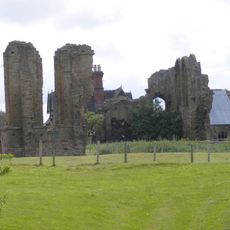
Halesowen Abbey
3.5 km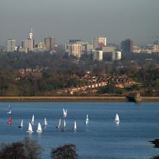
Bartley Reservoir
4.2 km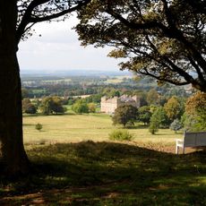
Hagley Park
4.3 km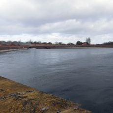
Frankley Reservoir
3.8 km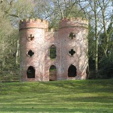
Clent Castle
4.1 km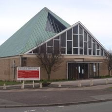
St Michael and All Angels' Church, Bartley Green
4.1 km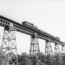
Dowery Dell Viaduct
1.4 km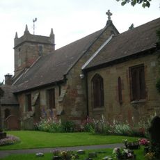
St Leonard's Church, Frankley
3.5 km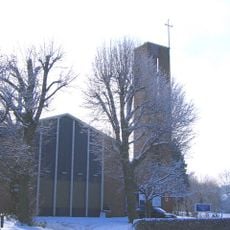
St Chad's Church, Rubery
3.2 km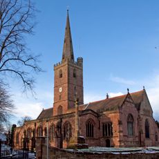
Church of St John the Baptist, Halesowen
4.1 km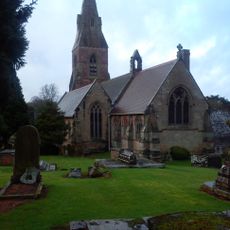
Church of St John the Baptist
4.6 km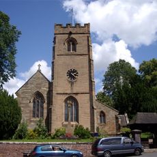
Church of St Leonard, Clent
3.6 km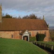
Church of St Kenelm
2.4 km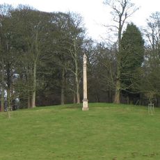
Prince Of Wales Column
4.5 km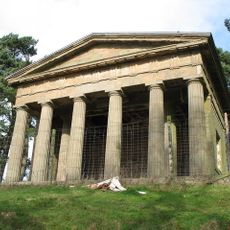
Temple Of Theseus About 1/2 Mile North Of Hagley Hall
4.7 km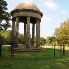
The Rotunda About 1/2 Mile North-east Of Hagley Hall
3.9 km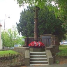
Halesowen War Memorial
4.1 km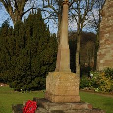
Clent War Memorial
3.7 km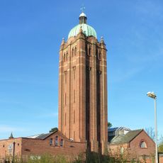
Water Tower At Hollymoor Hospital
3.9 km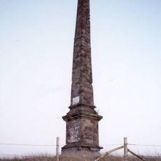
Obelisk About 3/4 Mile North Of Hagley Hall
4.9 km
Whitefriars
4.1 km
Old Rednal Library
3.9 km
Moated site of Frankley Hall
3.4 km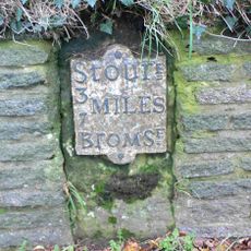
Milestone, Lower Clent
4.9 km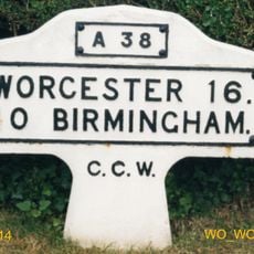
Milestone, Lydiate Ash, by "Hazlewood" No. 658, on "Old Birmingham Road"; now by-passed
3.8 kmReviews
Visited this place? Tap the stars to rate it and share your experience / photos with the community! Try now! You can cancel it anytime.
Discover hidden gems everywhere you go!
From secret cafés to breathtaking viewpoints, skip the crowded tourist spots and find places that match your style. Our app makes it easy with voice search, smart filtering, route optimization, and insider tips from travelers worldwide. Download now for the complete mobile experience.

A unique approach to discovering new places❞
— Le Figaro
All the places worth exploring❞
— France Info
A tailor-made excursion in just a few clicks❞
— 20 Minutes