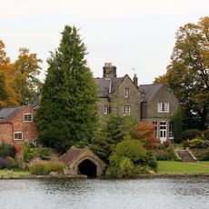
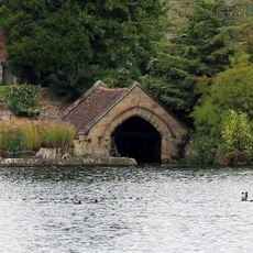
Staunton Harold Reservoir, lake in the United Kingdom
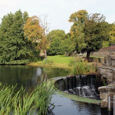
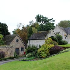
Staunton Harold Reservoir is a large water storage facility built in 1964 to supply drinking water to communities in Leicester and the East Midlands, covering approximately 210 acres across Derbyshire. The site features walking paths that wind through meadows and woodlands, a café, playgrounds, fishing areas, and water sports facilities including sailing and windsurfing.
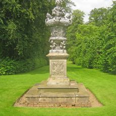
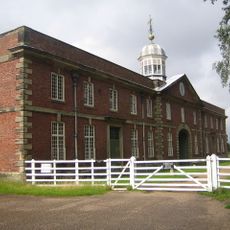
The reservoir was constructed in 1964 by the River Dove Water Board to supply drinking water to Leicester and the East Midlands, partly flooding what had been a series of ponds on the historic Calke Abbey Estate. A tower windmill erected in 1798 stands on the landscape as a reminder of the area's farming heritage.
This reservoir serves the communities that depend on its water supply and has become a popular walking destination for locals and visitors seeking outdoor recreation. The name refers to the nearby hamlet of Staunton Harold, and today the site functions as a gathering place for families, walkers, and nature watchers from the surrounding region.
The site is easily accessible with marked trails and accessible routes including a dedicated path through wildflower meadows; dogs are welcome but must be kept on a lead in certain areas like the car park. On-site facilities include toilets, parking, playgrounds, and a café, though be aware that some paths include stiles which may be challenging for wheelchairs and young children.
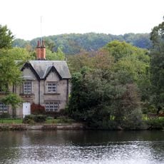
A striking feature is the 18th century tower windmill that stands on the grounds and is visible from nearby high points across the landscape. Originally a working mill, it was repurposed in the 1960s and now serves as a historical landmark rather than a functional structure, offering walkers a visual anchor point as they explore the surrounding countryside.
The community of curious travelers
AroundUs brings together thousands of curated places, local tips, and hidden gems, enriched daily by 60,000 contributors worldwide.