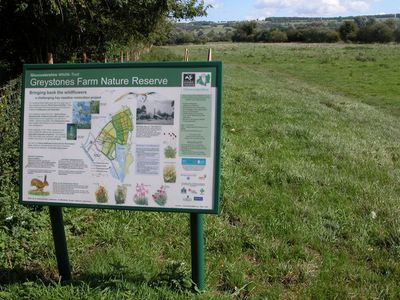
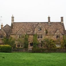
Salmonsbury Meadows SSSI, Protected ecological site in Gloucestershire, England
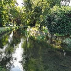
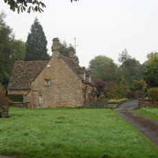
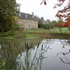
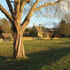
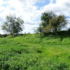
Salmonsbury Meadows is a protected site in Gloucestershire covering about 18 hectares of meadowland with the River Eye flowing through it and the River Dikler forming its eastern boundary. The land divides into eleven distinct meadow sections separated by ancient hedges that support diverse plant and animal life.
The site received its protected status as a Site of Special Scientific Interest in 1985 due to its ecological value. Its current boundaries were established through three separate land purchases between 1999 and 2002 that expanded the protected area.
The meadows show traditional ways of managing land through their ancient hedge networks that divide different meadow sections. This pattern lets visitors see how the countryside was once organized for agriculture as they walk through.
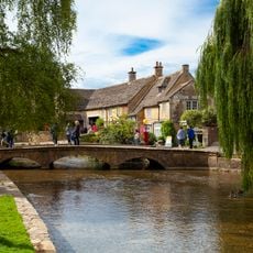
The site is accessible through public footpaths, including the Oxfordshire Way, which guide visitors through the meadow sections. Bring sturdy footwear as the ground can be quite muddy after rain, and move slowly and quietly to observe wildlife without disturbing it.
The meadows support populations of southern marsh orchids and early marsh orchids that thrive in the wet conditions. One notable feature is the presence of water voles, which remain scarce across the region and represent an important population for conservation.
The community of curious travelers
AroundUs brings together thousands of curated places, local tips, and hidden gems, enriched daily by 60,000 contributors worldwide.