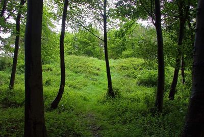
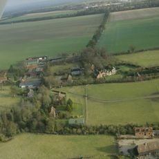
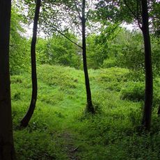
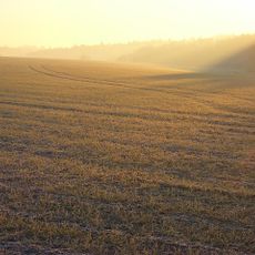
Scutchamer Knob, Iron Age round barrow on the Ridgeway National Trail at East Hendred Down, England.
Scutchamer Knob is an Iron Age round barrow located on the Ridgeway National Trail near East Hendred Down. The earthen mound rises about 10 feet high and features a distinctive semi-circular bank formation with a rounded front section at the summit.
The mound originated during the Iron Age as a burial monument for deceased members of a local community. By 1006, the site had acquired symbolic importance in local accounts of Danish military movements in the region.
The mound served as a gathering place where people from the surrounding lands met for trade and local assemblies. This role continued for centuries until such gatherings ceased to be practiced in the early 1600s.
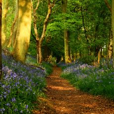
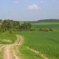
The site is accessible via the Ridgeway walking path or from East Hendred village and lies along well-used hiking routes. The approach is relatively easy, though the ground can become soft and muddy in wet weather.
Excavations in the 1800s uncovered unusual artifacts within the mound, including a stone bead and an iron buckle. These finds suggest the burial belonged to someone of considerable standing in their community.
GPS coordinates: 51.56240,-1.34280
Latest update: December 12, 2025 14:24
The Ridgeway
509 m
Atlas Computer Laboratory
2.4 km
Harwell Synchrocyclotron
3.1 km
Ginge Manor
1.7 km
Church of St Augustine of Canterbury
3.6 km
Church of All Saints
3.6 km
Church of All Saints
3.1 km
Church of the Holy Trinity
3.4 km
Roman Catholic Church of Saint Mary, East Hendred
3.5 km
Church of All Saints
3.4 km
Church of All Saints
3.8 km
The Wheatsheaf Public House
3.9 km
Eyston Arms Public House
3.8 km
Hendred House And St Amands Chapel
3.6 km
Lockinge War Memorial
4 km
Godfreys Farm
3.5 km
Jesus Chapel And Attached House
3.9 km
Ardington House
4 km
Grim's Ditch: section W of Chilton Plantation
1.2 km
Scutchamore Knob
7 m
Grim's Ditch; section 650yds (590m) long NW of Betterton Down
3.4 km
Grim's Ditch; section S of Tile Barn
536 m
The Old Rectory
3.7 km
Downs House
3 km
Grim's Ditch: section 1200yds (1100m) long from Chilton Plantation to Ridge Hill
2.1 km
East Hendred War Memorial
3.9 km
Milestone At Su 4825 8722
3.4 km
East Hendred Down bowl barrow
719 mVisited this place? Tap the stars to rate it and share your experience / photos with the community! Try now! You can cancel it anytime.
Discover hidden gems everywhere you go!
From secret cafés to breathtaking viewpoints, skip the crowded tourist spots and find places that match your style. Our app makes it easy with voice search, smart filtering, route optimization, and insider tips from travelers worldwide. Download now for the complete mobile experience.
A unique approach to discovering new places❞
— Le Figaro
All the places worth exploring❞
— France Info
A tailor-made excursion in just a few clicks❞
— 20 Minutes