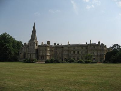
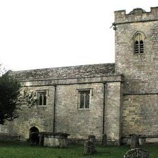
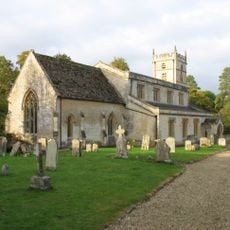
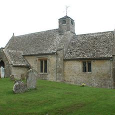
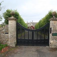
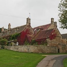
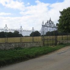
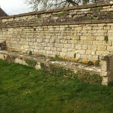
Sherborne House, Gloucestershire, English country house in Sherborne, Gloucestershire.
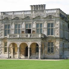
Sherborne House is a three-story country residence with a square layout and central courtyard, featuring classical architectural elements typical of the 17th century on its exterior. The building was later reconstructed and now serves as residential apartments while maintaining its protected architectural character.
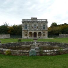
Construction began in the mid-17th century and was followed by a major redesign in the early 19th century that transformed its layout and appearance. These two building phases shaped the structure visitors see today.
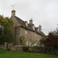
The name Sherborne references the local area and its heritage as a private family residence for centuries. Today, visitors can observe how the rooms were arranged to display the owners' status and refined tastes.
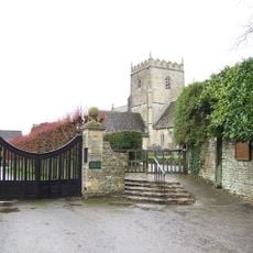
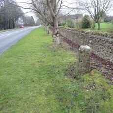
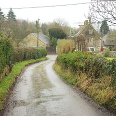
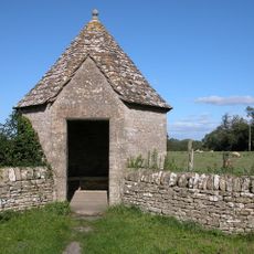
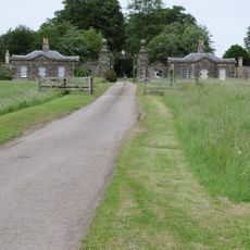
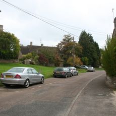
The building is now divided into private residential apartments and can only be viewed from outside, making it an interesting stop on a walk through the village. Its location in Sherborne allows it to be explored alongside other local sights.
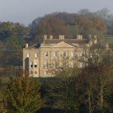
From 1947 to 1966 the house served as a school and educated students who would go on to achieve prominence in music and other fields. One former pupil eventually became known internationally for his work with a famous rock band.
Location: Sherborne
GPS coordinates: 51.83100,-1.75540
Latest update: December 9, 2025 18:45
Lodge Park
3.4 km
Barrington Park
3.6 km
Church of St Peter
3.3 km
Church of St Peter
2.9 km
Church of St Mary
3.8 km
Church of St Mary Magdalene, Adjoining Sherborne House
60 m
Church of St. James
3.3 km
Church of St John the Baptist
3.5 km
The Fox Inn
3.9 km
Reading Room
3.9 km
Great Rissington Manor
3.5 km
Broadmoor Farmhouse
2.4 km
Shelter To Former Village Pump
3.5 km
Fountain circa 40 metres east of Lodge Park
3.4 km
Windrush camp
2.7 km
Clairvoyee, Gate And Piers Set Within The Eastern Boundary Wall Of Barrington Park
3.8 km
Northfield Barn and adjoining shelter shed
921 m
Windrush Mill
2.6 km
Milestone C200M West Of New Barn Farm
2.5 km
14, Great Rissington
3.9 km
Walled Garden East Of The Church Of St Mary, Barrington Park
3.8 km
Wall Incorporating Stone Seat Forming The Northern Boundary To The Churchyard Of The Church Of St Mary
3.8 km
Blue Close
3.7 km
Festival Of Britain Bus Shelter
3.8 km
Cheltenham Lodges Including Gates, Gate Piers And Adjoining Walls
1.2 km
K6 Telephone Kiosk Village Centre
3.9 km
Round barrow 230m north west of Camp Farm
3 km
New Bridge over River Windrush
3.1 kmVisited this place? Tap the stars to rate it and share your experience / photos with the community! Try now! You can cancel it anytime.
Discover hidden gems everywhere you go!
From secret cafés to breathtaking viewpoints, skip the crowded tourist spots and find places that match your style. Our app makes it easy with voice search, smart filtering, route optimization, and insider tips from travelers worldwide. Download now for the complete mobile experience.
A unique approach to discovering new places❞
— Le Figaro
All the places worth exploring❞
— France Info
A tailor-made excursion in just a few clicks❞
— 20 Minutes