Sherrardspark Wood, Ancient woodland in Welwyn Garden City, England.
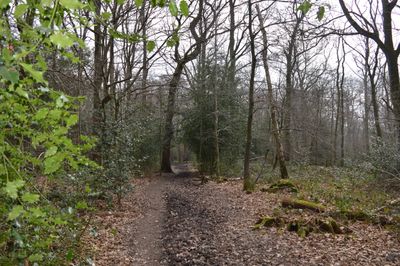
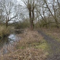
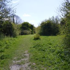
Sherrardspark Wood is an extensive woodland in Welwyn Garden City characterized by mature sessile oak and hornbeam trees throughout its area. The woodland contains multiple walking paths and trails that wind through the forest landscape.
The woodland received formal recognition as a Site of Special Scientific Interest in 1986 and was designated as a Local Nature Reserve in 1998. These designations provided legal protection for the forest's ecological value.
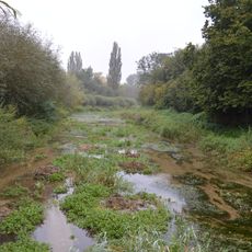
The woodland displays the character of an English deciduous forest with mature trees and dense undergrowth that visitors encounter on their walks. Local people use the space regularly to spend time outdoors and connect with the natural landscape.
The woodland can be accessed from multiple points and is used by walkers, cyclists, and horse riders. Expect muddy sections after wet weather, so wear appropriate footwear for forest conditions.
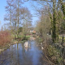
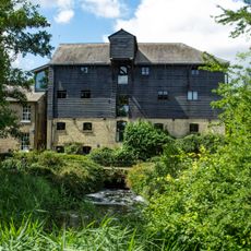
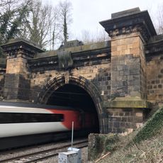
A former railway line runs through the woodland and connects it to the Ayot Greenway, allowing visitors to extend their walk across a larger area. This path creates a link between different nature spaces in the region.
Location: Welwyn Hatfield
GPS coordinates: 51.81020,-0.21724
Latest update: December 14, 2025 11:03
Brocket Hall
1.8 km
Digswell Viaduct
1.8 km
Welwyn Roman Baths
2.1 km
Digswell House
1.2 km
Stanborough Reedmarsh
3 m
Weston Hills, Baldock
2.5 km
Singlers Marsh
2.8 km
Lemsford Springs
1.7 km
Parish Church of St Mary
2.4 km
Wheathampstead Local Nature Reserve
2.5 km
Church of St John the Evangelist
2.2 km
Church of St Peter
1.6 km
The Parish Church of St John
1.2 km
The Crooked Chimney Public House
2.5 km
The Wellington Inn Hotel
2.3 km
Bridge over the "broadwater" in Brocket Park
2 km
The Nabisco Shredded Wheat Factory
1.5 km
Waterend House
2.6 km
Garden City Cinema
861 m
Lemsford Mill
1.9 km
(Guessens) Milestone On Pavement Abutting Front Wall Near North End Of Range
2.4 km
South Portal Of Welwyn Tunnel 300 Metres North Of Welwyn North Station
2.5 km
Milepost
2.5 km
Milepost Just North Of Fulling Mill Lane
2.6 km
Milepost, Codicote Road, Great North Road, opposite jct with Brockswood Lane
859 m
Brocket Lea
2.1 km
Templewood School
557 m
Milestone, Codicote Road, Great North Road, at jct with Brockswood Lane
838 mVisited this place? Tap the stars to rate it and share your experience / photos with the community! Try now! You can cancel it anytime.
Discover hidden gems everywhere you go!
From secret cafés to breathtaking viewpoints, skip the crowded tourist spots and find places that match your style. Our app makes it easy with voice search, smart filtering, route optimization, and insider tips from travelers worldwide. Download now for the complete mobile experience.
A unique approach to discovering new places❞
— Le Figaro
All the places worth exploring❞
— France Info
A tailor-made excursion in just a few clicks❞
— 20 Minutes