
Saighton Lane Farm, farm in Cheshire, UK
Location: Aldford and Saighton
GPS coordinates: 53.16150,-2.82800
Latest update: March 4, 2025 08:06

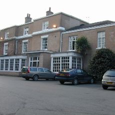
Rowton Hall Hotel
1.3 km
Saighton Grange
1.3 km
St James' Church, Christleton
2.8 km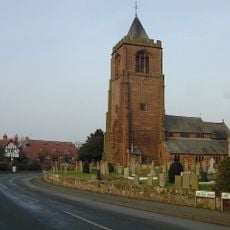
St Peter's Church, Waverton
1.5 km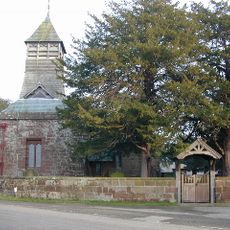
St Mary's Church
2.7 km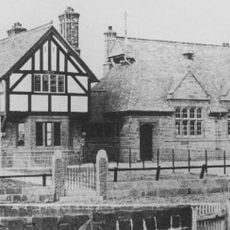
Waverton school and schoolmaster's house
1.5 km
Memorial shelter
2.7 km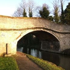
Canal bridge No 122
2.9 km
Rock House and attached shop
2.7 km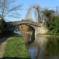
Canal Bridge No. 120
2.1 km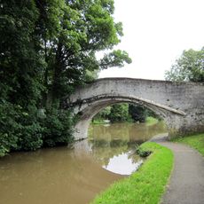
Quarry Bridge, Canal Bridge No. 121
2.6 km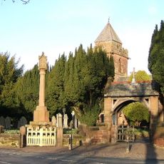
Christleton War Memorial
2.7 km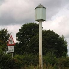
Hydraulic Sewage Lift
2.3 km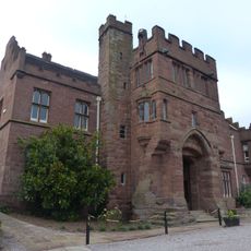
Abbey Gate College Gatehouse Gateway
1.3 km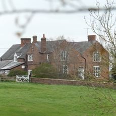
Cheaveley Hall Farmhouse
3 km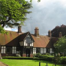
Dixon's Almshouses
2.9 km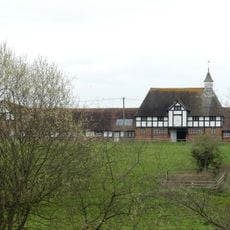
L-shaped range of farmbuildings at Cheaveley Hall Farm
3 km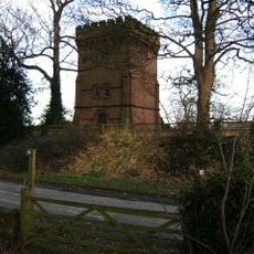
Water Tower
1.1 km
Parish boundary stone against front wall of No.60 (The Old Glass House)
3.1 km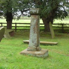
Standing cross in St Mary's churchyard
2.7 km
Bruera moated site and adjacent field system
2.7 km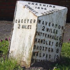
Milepost, almost under A55 bridge, by car showroom
2.9 km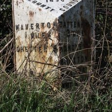
Milepost, Hatton Heath, S of Lodge Farm and Power Movers
1.7 km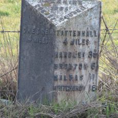
Milepost, just N of railway bridge, nr Smithy Farm, S of road to Waverton
743 m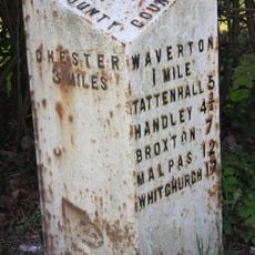
Milepost, Rowton Moor
1.2 km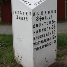
Milepost, Broughton Heath; by No 84 & 86
3 km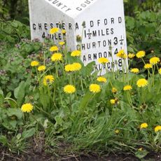
Milepost, Crook of Dee, opp. Cheaveley Hall Cottages, S of Cheaveley Bridge
2.7 km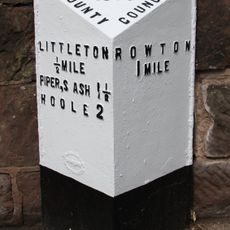
Milepost, Little Heath Road
2.8 kmVisited this place? Tap the stars to rate it and share your experience / photos with the community! Try now! You can cancel it anytime.
Discover hidden gems everywhere you go!
From secret cafés to breathtaking viewpoints, skip the crowded tourist spots and find places that match your style. Our app makes it easy with voice search, smart filtering, route optimization, and insider tips from travelers worldwide. Download now for the complete mobile experience.

A unique approach to discovering new places❞
— Le Figaro
All the places worth exploring❞
— France Info
A tailor-made excursion in just a few clicks❞
— 20 Minutes