St Mary's Church

Log in to your account

AroundUs is a community-driven map of interesting places, built by curious explorers like you. It grows with every review, story, and photo you share.
Connect to save your favorite spots, contribute locations, and create personalized routes.
Continue with Google
Continue with Apple
Continue with X
Continue with Facebook
Continue with email
By continuing, you accept our Terms and Conditions and our Privacy Policy
Create an account
Add to collection
Map
Suggest a change
Share

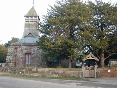
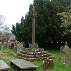
St Mary's Church, Grade II* listed church in Bruera, England

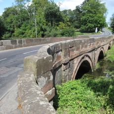
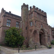
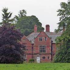
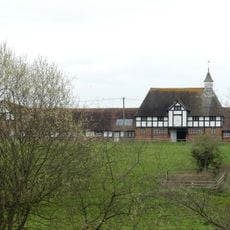
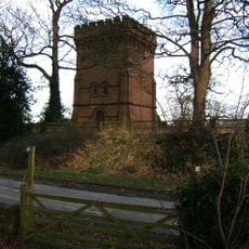
St Mary's Church is a Grade II* listed church building constructed from red sandstone located in Bruera between the villages of Saighton and Aldford. Its walls display architectural elements from both English Gothic and Norman periods visible in the stonework and structural details.

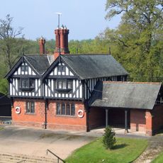
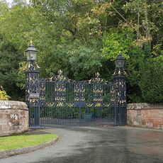
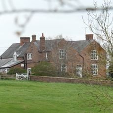
The building was constructed in 1896 and reflects late Victorian ecclesiastical design of the period. It stands within the extensive Eaton Estate, a major landholding of the Grosvenor family in the region.

The church serves as a gathering place for the local community and is jointly managed with neighboring parishes in the area. It shapes religious life for people in this part of Cheshire through regular worship and communal events.

The building is publicly accessible as it is used regularly for worship services and operates under heritage protection status. Visitors should check service times and dress appropriately when visiting the site.

The church was commissioned by a wealthy family as part of their private estate during a time when such personal religious investments were still common. This reflects the close connection between landed estates and church building in late Victorian England.

Inception: 1896

Architectural style: English Gothic architecture, Norman architecture

Made from material: red sandstone

Website: http://achurchnearyou.com/bruera-st-mary

GPS coordinates: 53.13910,-2.84200

Latest update: December 14, 2025 17:03

Photos
Around this place
Aldford Iron Bridge
United Kingdom

Aldford Iron Bridge

2 km
Saighton Grange
United Kingdom

Saighton Grange

1.4 km
Aldford Castle
United Kingdom

Aldford Castle

2.1 km
St John the Baptist's Church
United Kingdom

St John the Baptist's Church

2.2 km
Iron Bridge Lodge, Aldford
United Kingdom

Iron Bridge Lodge, Aldford

2 km
Eaton Boat
United Kingdom

Eaton Boat

2 km
Bridge carrying Buerton Approach over Aldford Brook
United Kingdom

Bridge carrying Buerton Approach over Aldford Brook

1.8 km
Bridge carrying Buerton Approach over Chester Road
United Kingdom

Bridge carrying Buerton Approach over Chester Road

1.6 km
Aldford Bridge
United Kingdom

Aldford Bridge

1.9 km
Bank Farm Farmhouse
United Kingdom

Bank Farm Farmhouse

2.1 km
Churchyard wall and gates, Church of St John the Baptist
United Kingdom

Churchyard wall and gates, Church of St John the Baptist

2.2 km
Sundial and pier west of South Porch of Church of St John the Baptist
United Kingdom

Sundial and pier west of South Porch of Church of St John the Baptist

2.2 km
Cross and stepped base east of path to south porch of Church of St John the Baptist
United Kingdom

Cross and stepped base east of path to south porch of Church of St John the Baptist

2.2 km
Large urn east of fish pond
United Kingdom

Large urn east of fish pond

2 km
Abbey Gate College Gatehouse Gateway
United Kingdom

Abbey Gate College Gatehouse Gateway

1.4 km
K6 telephone kiosk, between frontages of Institute and Old Rectory
United Kingdom

K6 telephone kiosk, between frontages of Institute and Old Rectory

2.2 km
The Old Rectory
United Kingdom

The Old Rectory

2.1 km
Aldford Lodge gates, piers and wing walls
United Kingdom

Aldford Lodge gates, piers and wing walls

2 km
Stocks, almost opposite the Grosvenor Arms Inn
United Kingdom

Stocks, almost opposite the Grosvenor Arms Inn

2 km
Cheaveley Hall Farmhouse
United Kingdom

Cheaveley Hall Farmhouse

2.1 km
L-shaped range of farmbuildings at Cheaveley Hall Farm
United Kingdom

L-shaped range of farmbuildings at Cheaveley Hall Farm

2.1 km
Parrot House at north end of Broad Walk
United Kingdom

Parrot House at north end of Broad Walk

2.2 km
Leahall Farmhouse
United Kingdom

Leahall Farmhouse

1.8 km
Gates, overthrow and piers approximately 80 metres east of Dutch Tea Garden
United Kingdom

Gates, overthrow and piers approximately 80 metres east of Dutch Tea Garden

2.2 km
Water Tower
United Kingdom

Water Tower

1.5 km
Bruera moated site and adjacent field system
United Kingdom

Bruera moated site and adjacent field system

142 m
Standing cross in St Mary's churchyard
United Kingdom

Standing cross in St Mary's churchyard

17 m
Moated site of Lea Hall, 80m east of Leahall Farm
United Kingdom

Moated site of Lea Hall, 80m east of Leahall Farm

1.8 km
Show the full map
Reviews

Visited this place? Tap the stars to rate it and share your experience / photos with the community! Try now! You can cancel it anytime.

« St Mary's Church - Grade II* listed church in Bruera, England » is provided by Around Us (aroundus.com). Images and texts are derived from Wikimedia project under a Creative Commons license. You are allowed to copy, distribute, and modify copies of this page, under the conditions set by the license, as long as this note is clearly visible.

Discover hidden gems everywhere you go!

From secret cafés to breathtaking viewpoints, skip the crowded tourist spots and find places that match your style. Our app makes it easy with voice search, smart filtering, route optimization, and insider tips from travelers worldwide. Download now for the complete mobile experience.

Around Us App Screenshot

A unique approach to discovering new places

Le Figaro

All the places worth exploring

France Info

A tailor-made excursion in just a few clicks

20 Minutes