South East London Green Chain, Walking path network in South East London, United Kingdom
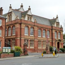
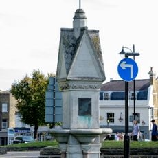
The South East London Green Chain is a network of footpaths linking parks, green spaces, and historic sites across four London boroughs. The route uses yellow arrow markers in parks and metal directional signs on streets to guide visitors through the interconnected paths.
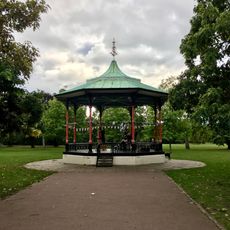
The network started in 1977 when four London boroughs and the Greater London Council created the system to protect green spaces from development. This early initiative helped preserve and link roughly 300 open spaces across the region.
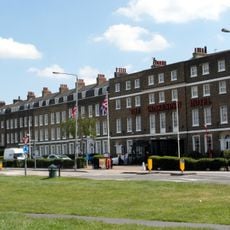
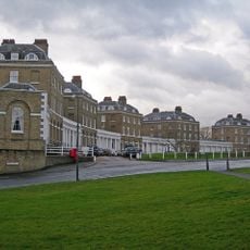
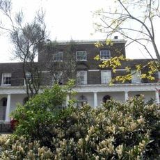
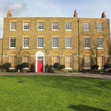
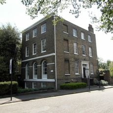
The network links together spaces that matter to local communities, from neighbourhood parks to museums and historic houses scattered across the region. Residents and visitors use this path to move between different parts of their area, discovering how these separate places connect into one story.
The route is accessible on foot with various starting points scattered across the region, and you can walk different sections or link them together. Pay attention to the markers as you move between parks and streets, since the signs look different depending on where you are walking.
The network has three separate starting points along the River Thames - Thames Barrier, Thamesmead, and Erith - that gradually merge as they head south. This three-point arrangement makes it easy to begin from wherever you are along the river and explore different parts of the waterfront.
The community of curious travelers
AroundUs brings together thousands of curated places, local tips, and hidden gems, enriched daily by 60,000 contributors worldwide.