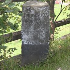
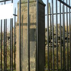
South Pennines, Upland region in Northern England, United Kingdom.
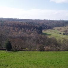
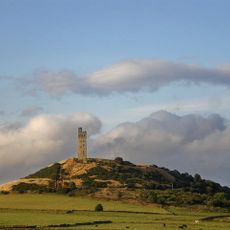
The South Pennines form an upland region in Northern England with broad moorlands and rounded hills. River valleys divide this landscape into sections where stone-built villages sit between the Yorkshire Dales and Peak District to the east.
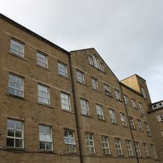
The region was shaped by livestock farming for centuries before textile mills transformed river valleys in the late 1700s. Water power from higher ground drove industrial growth, drawing workers and creating new settlements in previously remote areas.
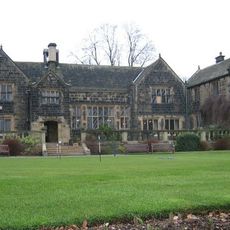
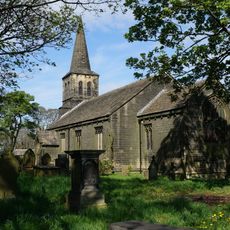
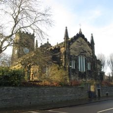
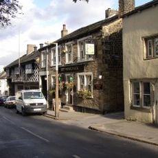
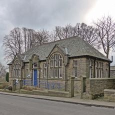
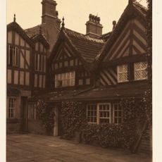
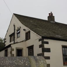
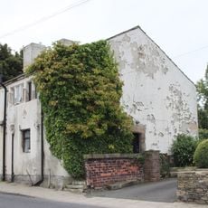
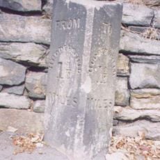
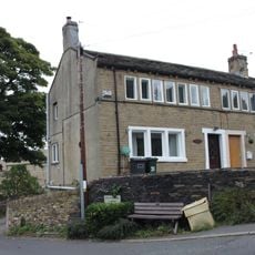
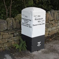
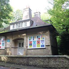
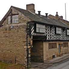
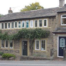
The stone-built settlements in river valleys reflect the region's connection to local geology and craftsmanship. Communities here maintain traditions linked to textile work, which shaped how these places look and function today.
The area is sparsely populated with many walking paths, including the long-distance Pennine Way trail. Access is easiest from towns like Halifax or Ilkley, where you will find accommodation and supplies for outdoor pursuits.
The M62 motorway reaches its highest point at Windy Hill near Junction 22 at about 1,220 feet (370 meters). This exposed crossing of main traffic through upland terrain makes it a notable engineering feature of the region.
The community of curious travelers
AroundUs brings together thousands of curated places, local tips, and hidden gems, enriched daily by 60,000 contributors worldwide.