
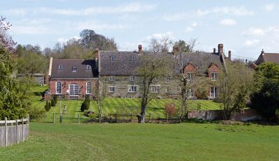
Slapton, village and civil parish in Northamptonshire, UK
Location: West Northamptonshire
GPS coordinates: 52.11590,-1.06620
Latest update: March 5, 2025 07:05
Lactodurum
5.5 km
Weston Hall
4.9 km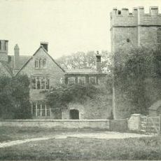
Astwell Castle
4.2 km
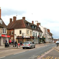
Town Hall
5.6 km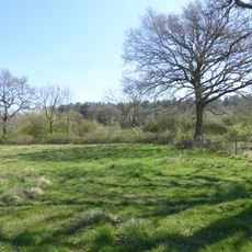
Bucknell Wood Meadows
1.9 km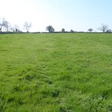
Plumpton Pasture
4.8 km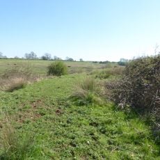
Syresham Marshy Meadows
4.2 km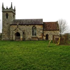
Church of St John the Baptist
4.5 km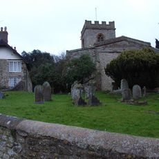
Church of St Mary, Weedon Lois
3.9 km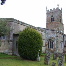
Church of St Mary
1.9 km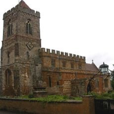
Church of St Mary
3.9 km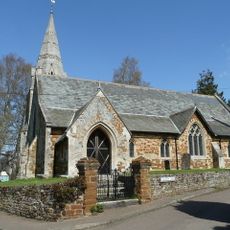
Church of St John the Baptist
948 m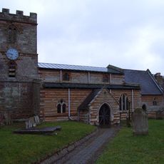
Church of St Michael
1.8 km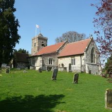
Church of St Botolph
82 m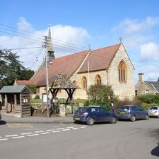
Church of St Michael
3.8 km
Roman Catholic Church
5.6 km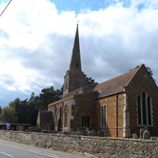
Church of St Bartholomew
4.2 km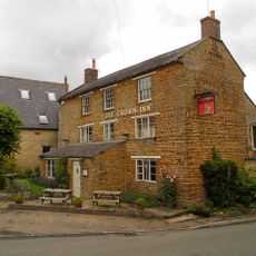
Crown Inn Public House
5.1 km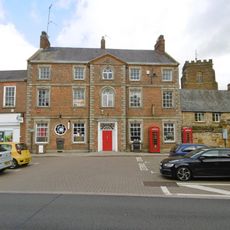
The Post Office
5.6 km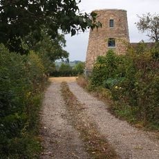
Windmill
4.2 km
Owls Hoot
4 km
Manor House And Attached Walls
3.5 km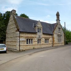
The Old School
1 km
Stone Farmhouse
5.1 km
Former Post Office And Cottage
5.1 km
Bury Mount Castle
5.7 km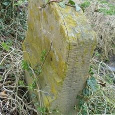
Milestone, Olney End, opp. Olney End House
4.3 km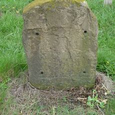
Milestone, N of 50mph sign & houses, N approach to Silverstone
3.8 kmReviews
Visited this place? Tap the stars to rate it and share your experience / photos with the community! Try now! You can cancel it anytime.
Discover hidden gems everywhere you go!
From secret cafés to breathtaking viewpoints, skip the crowded tourist spots and find places that match your style. Our app makes it easy with voice search, smart filtering, route optimization, and insider tips from travelers worldwide. Download now for the complete mobile experience.

A unique approach to discovering new places❞
— Le Figaro
All the places worth exploring❞
— France Info
A tailor-made excursion in just a few clicks❞
— 20 Minutes